Skip to content
ProjectsBlogAbout
+7 (925) 163-68-22
RU/EN

Blog

Practical notes on when scanning, measured surveys, point clouds, BIM and visual records are useful, and when a simpler data package is enough.

ScanningSurveys and DWGBIM and 3DInspectionProjects
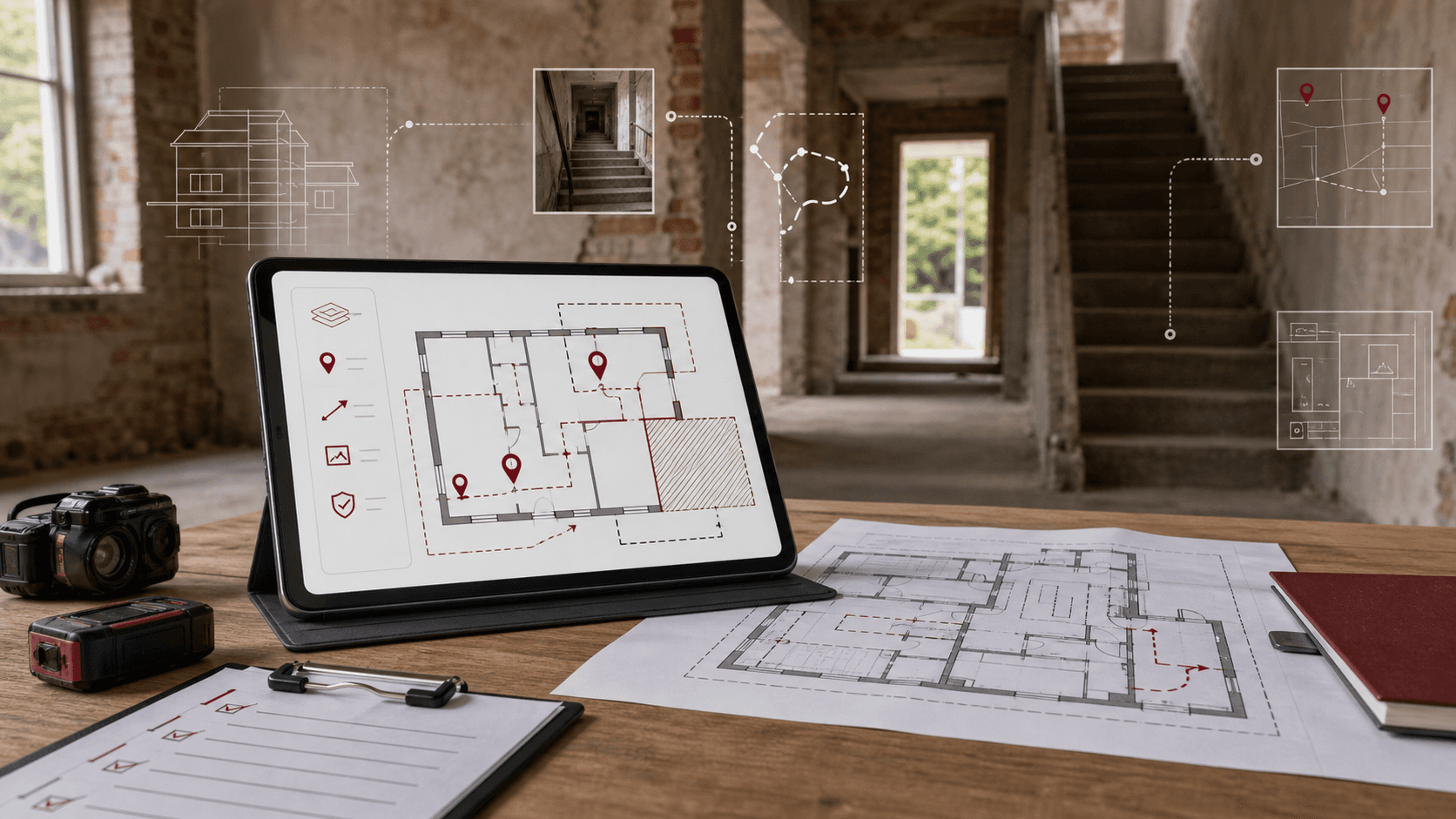
  • What to prepare before a building inspection team visits the site
    InspectionUpdated: 10 July 2026

    What to prepare before a building inspection team visits the site

    Inspection starts before the visit: zones, access, output formats and source-data boundaries should be defined early.

    Read

  • Point cloud, DWG or BIM: how to choose the right source-data format
    DeliverablesUpdated: 10 July 2026

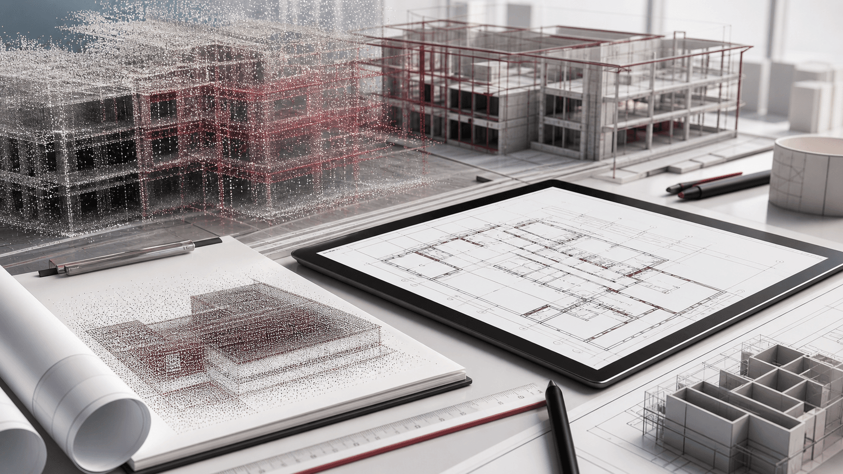
    Point cloud, DWG or BIM: how to choose the right source-data format

    The output format should follow the team's next action. One object may need a point cloud, drawings, a model or a short visual archive.

    Read
  • When laser scanning actually saves project time
    ScanningUpdated: 10 July 2026

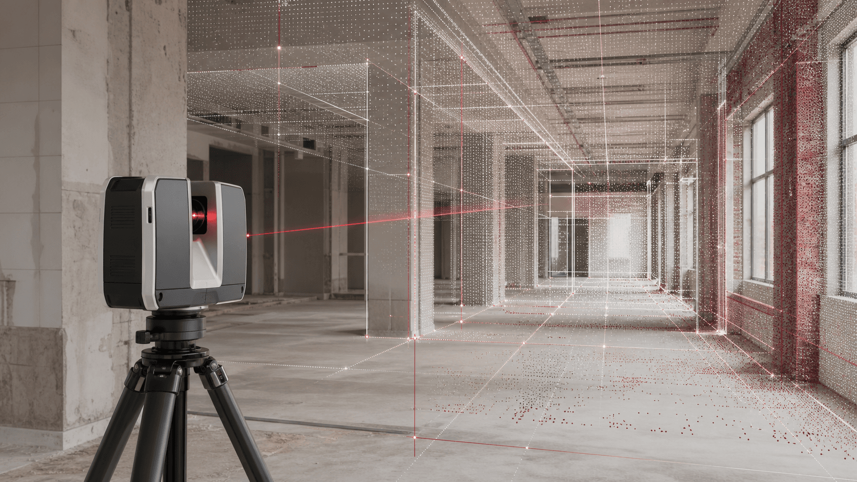
    When laser scanning actually saves project time

    Scanning is useful not because it looks technical, but because some decisions depend on measured geometry, access and a clear handoff.

    Read

Let us review your project scope

Describe the object, access and target deliverables. We will suggest a sensible capture scope.

Send inputs

Comprehensive geodetic surveys and 3D modeling of structures of any complexity.

Social

Services

  • All services
  • Laser scanning
  • Photogrammetry
  • Scan data processing
  • Measurements
  • Geodesy
  • 3D / BIM modeling
  • 360° tours and photo capture

Company

  • About
  • Projects
  • Blog
  • Clients

Platform

  • SPLINE360.SPACE
  • Platform features
  • All objects

Contacts

  • +7 (925) 163-68-22
  • order@spline.pro
  • Telegram
© 2017–2026 SPLINE.PRO. All rights reserved.
Privacy policyPersonal data terms