Object + design
Laser scanning, measured surveys, DWG/PDF and BIM model when the team needs to design from reality.

The team selects the method by object type, access, accuracy, output format and project task. If the object is unusual, we start with photos and a short brief.
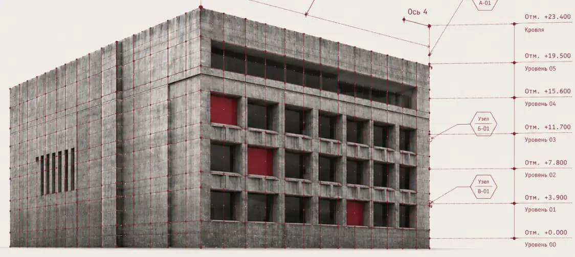
Choose an object type or filter cards by task. Each card opens a landing page with risks, work scope and expected outputs.
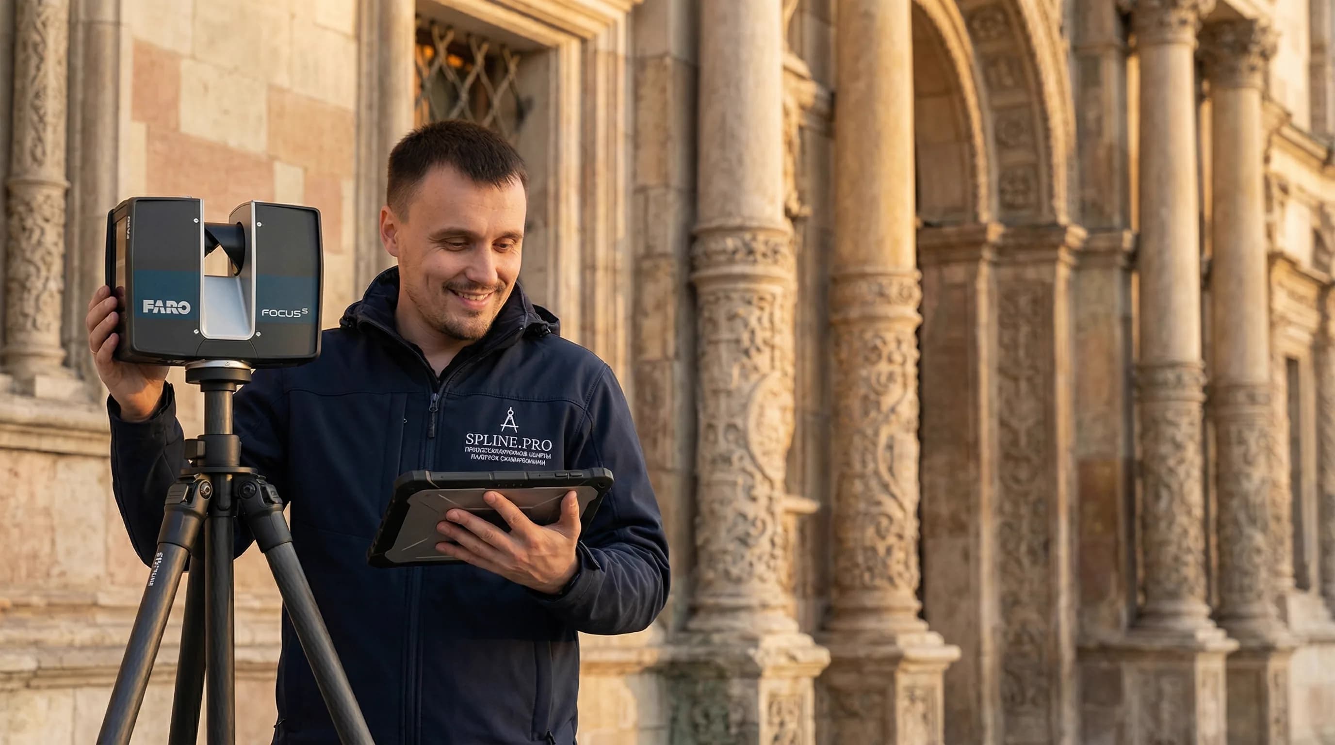
Measured facades, interiors, decor, losses and deformations for restoration teams.
Reduces the risk of planning restoration from incomplete or outdated geometry.
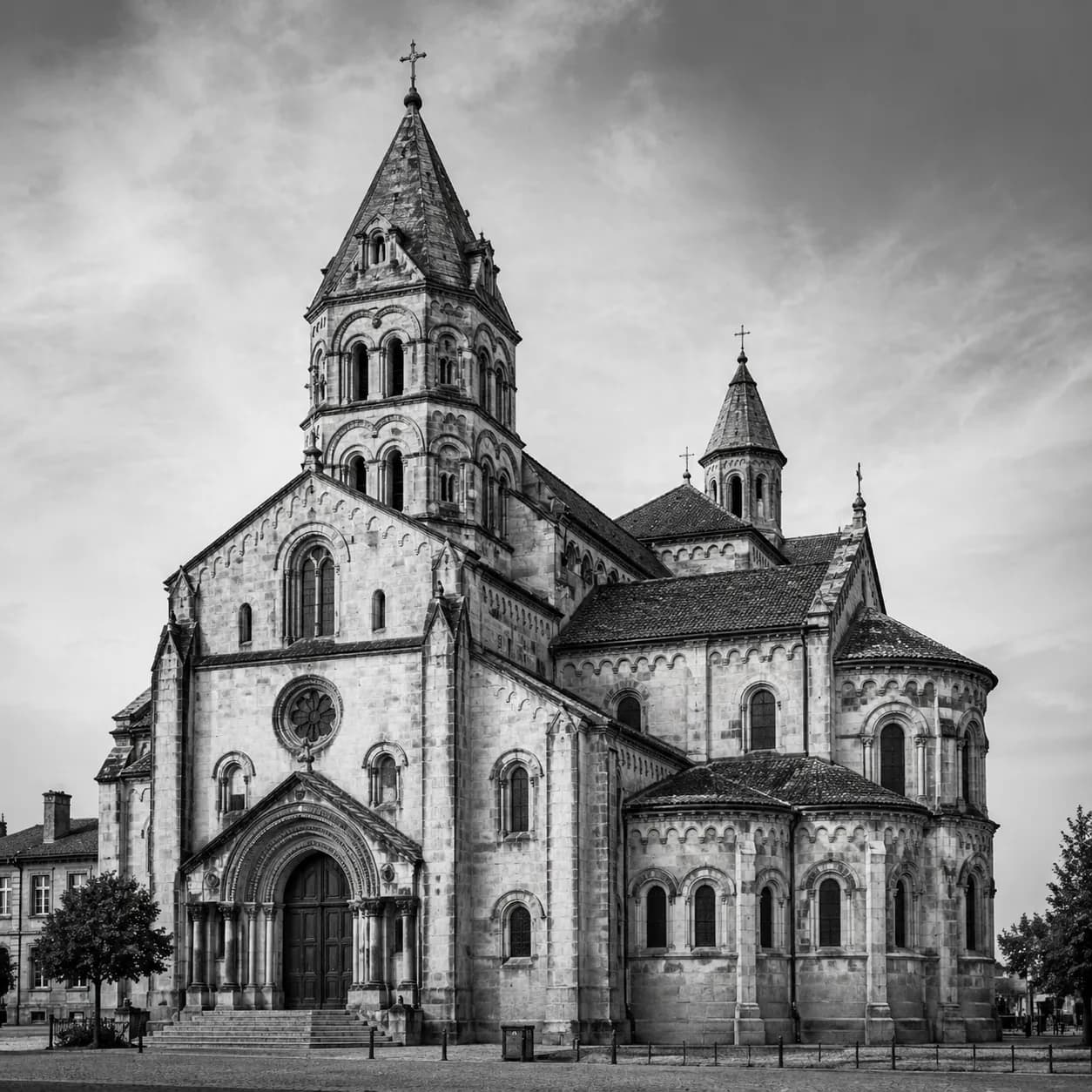
Vaults, domes, interiors, facades and condition records for restoration or inspection.
Reduces the risk of missing historic deformation, height geometry or restricted areas.
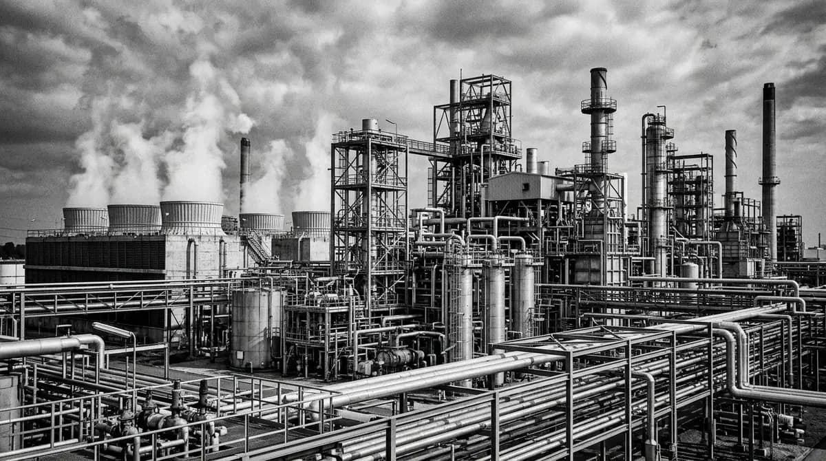
Equipment, structures, routes and working clearances for modernization projects.
Reduces the risk of designing modernization around outdated drawings or unclear site access.
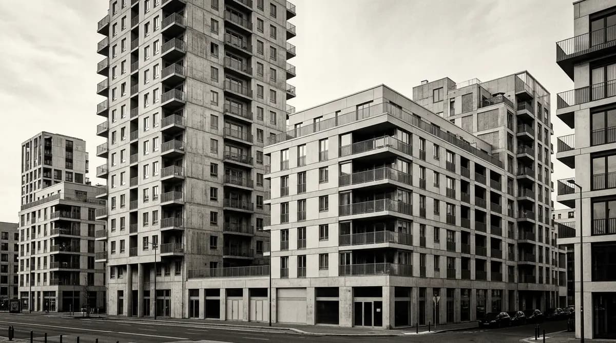
Measured plans, elevations, sections, point clouds and visual records for building work.
Reduces the risk of relying on old plans that no longer match the building.
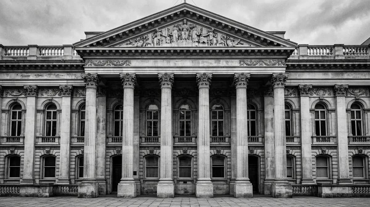
Facade and interior geometry for drawings, production, renovation and coordination.
Reduces the risk of producing design or fabrication drawings from approximate dimensions.
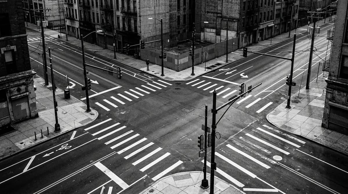
Routes, surfaces, structures, levels and profiles for street and infrastructure work.
Reduces the risk of planning a linear object without a connected coordinate base.
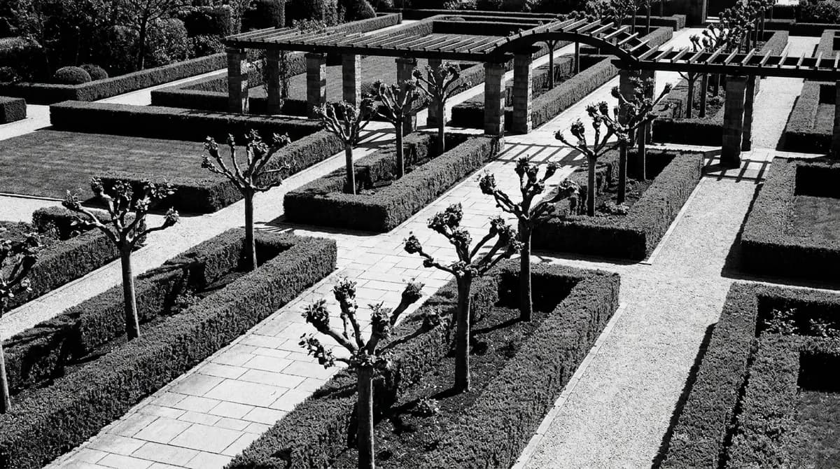
Terrain, paths, retaining walls, stairs and park elements in one measured package.
Reduces the risk of planning landscape work without reliable terrain and route context.
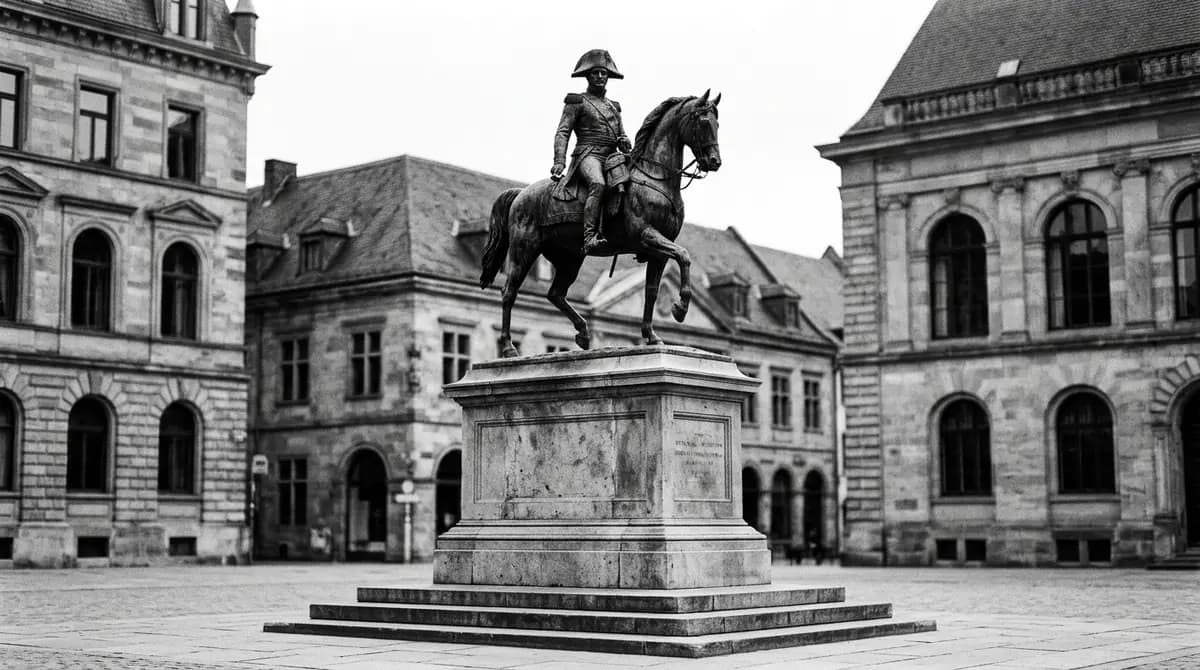
Complex form, surface condition and context captured for archive or restoration.
Reduces the risk of losing shape, surface detail or condition evidence before restoration.
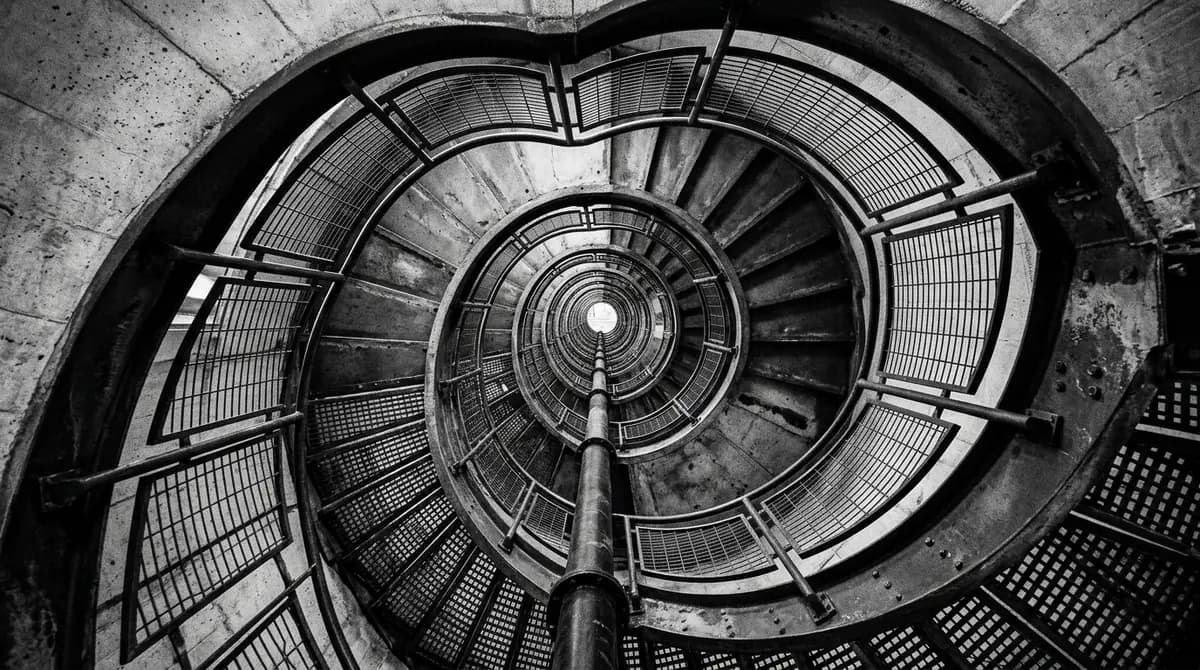
Actual stair and structural geometry for fabrication, installation and checking.
Reduces the risk of manufacturing or installing elements from approximate site dimensions.
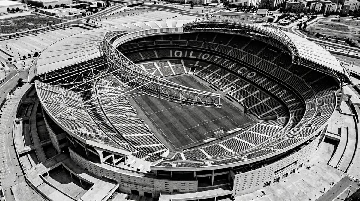
Zoned capture of stands, rooms, routes, structures and technical areas.
Reduces the risk of managing a large venue with fragmented and inconsistent source data.
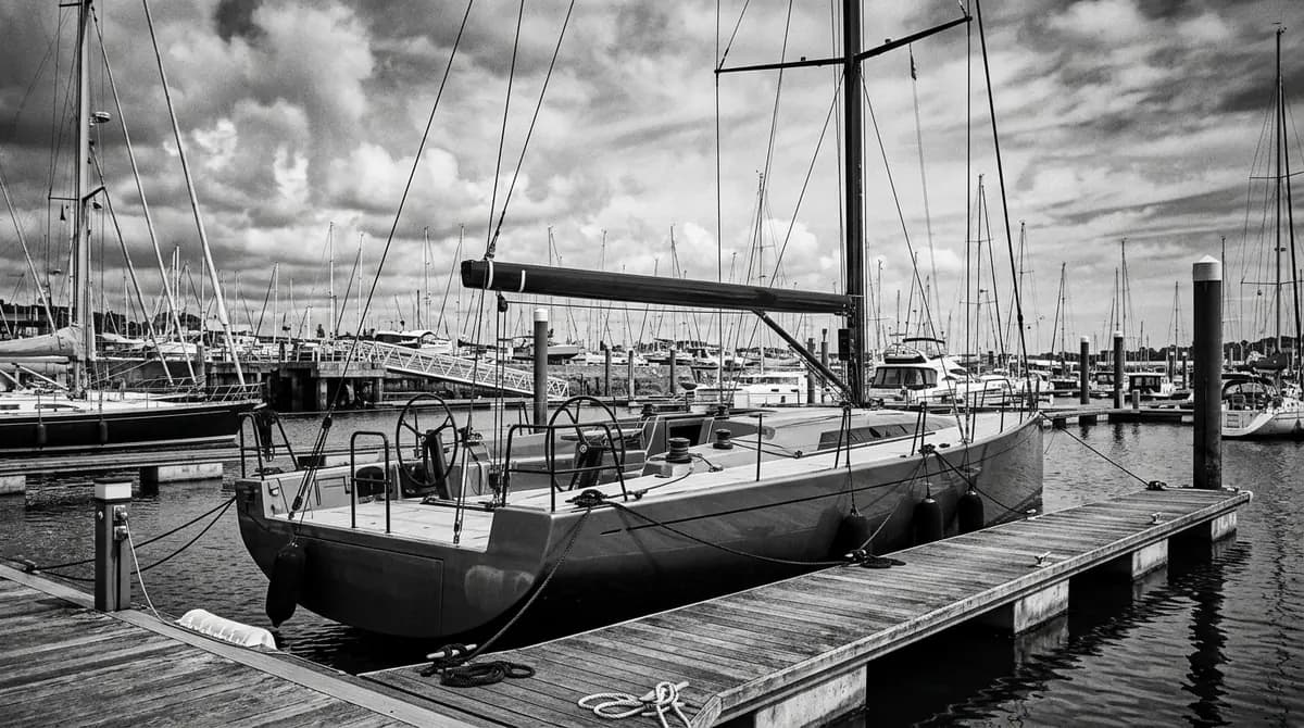
Hull, deck and interior geometry for refit, design and production teams.
Reduces the risk of refit decisions based on incomplete geometry or scattered photos.
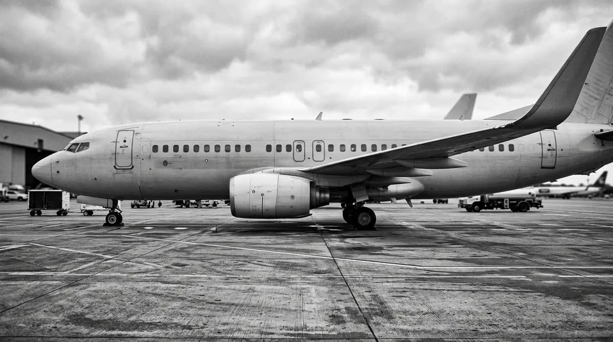
Large technical geometry and visual context for archive, display or inspection tasks.
Reduces the risk of documenting a complex object with only photos and approximate dimensions.
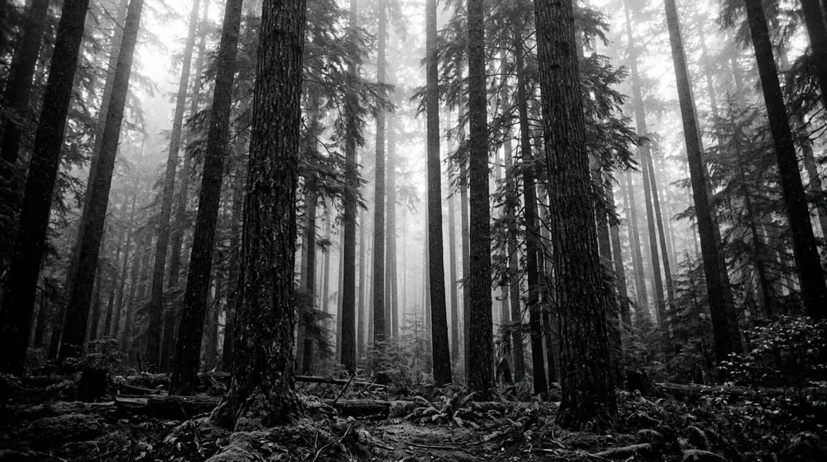
Terrain, routes, visible boundaries, clearings and built elements for planning.
Reduces the risk of planning natural areas without a connected terrain and route base.
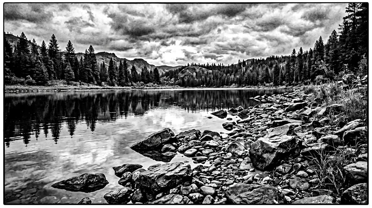
Shoreline, slopes, embankments, piers, profiles and levels for design teams.
Reduces the risk of designing waterfront work without measured shoreline and profile data.
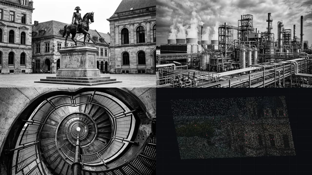
Non-standard objects assessed by task, access, material, scale and target output.
Reduces the risk of ordering the wrong technology before a quick technical review.
You do not need to know what to order in advance. Describe the object, task, desired output and access limits, and we will assemble a work package around the project risk.
Laser scanning, measured surveys, DWG/PDF and BIM model when the team needs to design from reality.
Geodesy, photogrammetry, topographic base, orthophotos and profiles for landscape work or control.
Scanning, photogrammetry, mesh, photo records and a structured digital archive.
Point cloud, 360 panoramas, photo archive and SPLINE360 for checking the object without repeat visits.
Send photos, videos, drawings or a link. We will suggest the suitable capture method and the data needed for an estimate.