Existing information is incomplete
Old drawings, photos or memories rarely describe yachts and ships with enough reliability.

We document hull geometry, decks, cabins, technical spaces and visible condition for refit, design, production or archive tasks.
Scanning and photogrammetry can be combined with photo records so designers and contractors can review complex geometry before decisions are made.
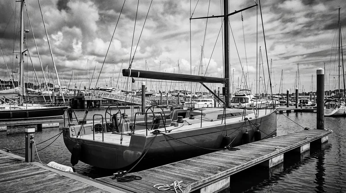
These situations usually have a high cost of error: a wrong fact quickly turns into repeated visits, rework and disputed design decisions.
Old drawings, photos or memories rarely describe yachts and ships with enough reliability.
Important details in hulls, decks, cabins, technical spaces, surfaces and details can disappear in manual notes or scattered photos.
Schedule, height, safety, weather or restricted areas can change the capture method.
Designers, inspectors, contractors and owners need the same structured data instead of separate versions.
A complete measured and visual package reduces avoidable clarification trips.
The exact zones depend on the task. A clear object anatomy helps define the details that must be preserved during handoff.
Measured shape, levels, control dimensions and priority zones of the ships.
Photos, panoramas and notes for surfaces, restrictions and visible defects.
Adjacent elements, routes, access points and interfaces that affect the work.
hulls, decks, cabins, technical spaces, surfaces and details
Unavailable zones and method limits are recorded so the team understands the data boundary.
These factors help estimate a realistic budget range and schedule.
Area, number of levels, route length and object scale define survey and processing time.
Access windows, height, safety, permits, night work or events change the schedule and team setup.
Archive, drawings, BIM, mesh and deviation checks need different density and processing depth.
Point clouds, DWG/PDF, BIM, IFC, orthophotos, 360 views and reports require different post-processing effort.
Light, weather, season, visitors, water, dust, reflective surfaces and dense engineering affect the method.
Fast delivery may require staged planning or a larger processing team.
A complete brief is helpful but not required. Clear inputs make it faster to propose the right scope.
City, address, site limits or the point where the ships is located.
Design, reconstruction, restoration, as-built control, inventory, inspection or remote review.
Which zones must be captured fully, which can be overview-only and where higher detail is needed.
Point cloud, DWG/PDF, BIM/Revit/IFC, orthophoto, 360, photo archive or another handoff structure.
Schedule, permits, height, safety, seasonality and zones that cannot be entered.
Old drawings, plans, photos, videos, brief, schemes, links or any files that help estimate the task.
The output is assembled as a data package for design, reconstruction, control, operation or remote review, not as files for the sake of files.
E57, RCP/RCS, LAS/LAZ
Registered and cleaned measured geometry for checking, modelling and coordination.
DWG, PDF
Plans, elevations, sections, profiles or control schemes according to the task.
RVT, IFC, SKP by agreement
A model from survey data at the level of detail the team actually needs.
JPG, panoramas, web tour
Visual context for remote review, condition records and discussions.
The service mix is selected by object type and project risk. This helps avoid unnecessary work while covering the data the team needs.
Captures accurate as-built geometry, levels, details and hard-to-reach zones.
View serviceAdds orthophotos, mesh and visual data for facades, terrain and large areas.
View serviceTurns scans and measured data into a model for design, coordination and archive use.
View serviceRegisters, cleans, structures and exports data in formats useful for the project team.
View serviceCreates a remote visual review and photo archive for teams that cannot revisit the site often.
View serviceFor ships, the useful result is not just a file set. The team needs a clear scope, measured facts and formats that can move straight into design, inspection, restoration or contractor work.
The team receives measured geometry, photos and context for hulls, decks, cabins, technical spaces, surfaces and details.
The capture records current state, restricted zones and visible details on a specific date.
Point clouds, drawings and visual records help participants discuss the object without repeated visits.
We show the overall object and working fragments used to check geometry, nodes, surfaces and context. This helps agree the delivery scope faster and avoid repeat visits.
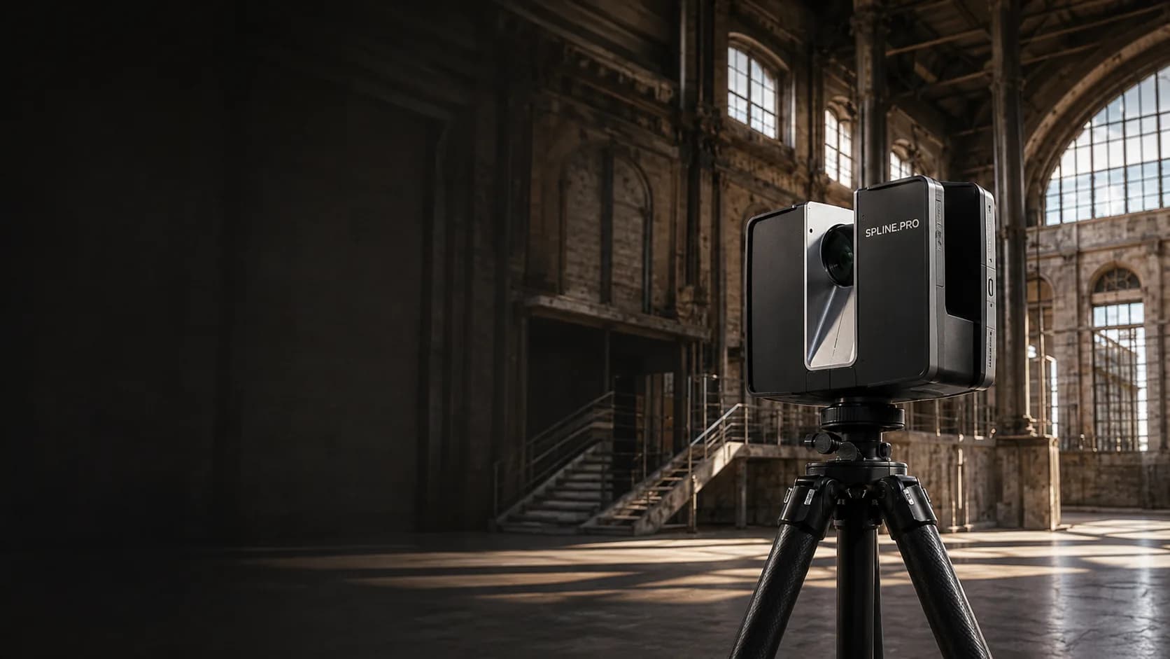
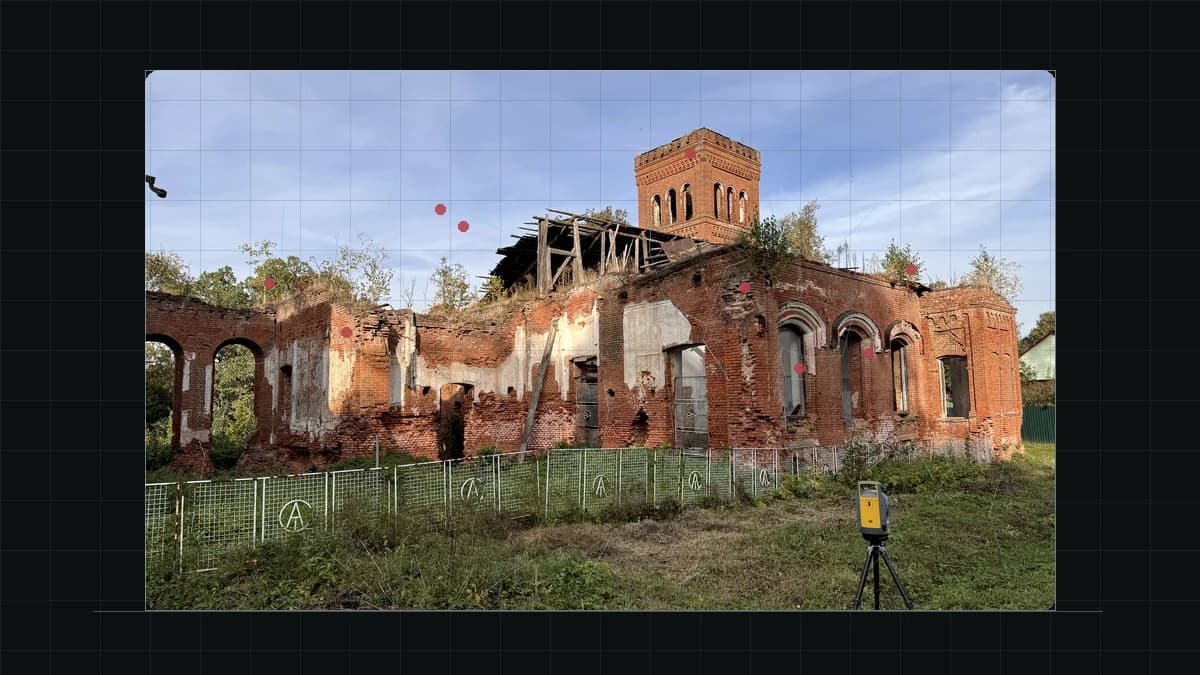
The process is transparent for small objects and large sites: first the task and method, then capture, processing and data handoff.
We clarify why the ships is being captured, which zones matter and what data format the team needs.
We combine scanning, geodesy, photogrammetry, measured surveys, BIM and 360 capture according to access, accuracy and timeline.
We plan the route, scan positions, safety and visual records so the object context is not lost.
We register point clouds, clean data, prepare drawings, models, orthophotos, panoramas and a clear folder structure.
We hand over agreed formats, explain what is inside the package and help the project team start using the data.
Answers focus on this object scenario: what to send, which data to expect and where the service boundaries are.
Yes. For a first estimate we usually need the address, photos or old materials, approximate scope, goal, deadline and desired output format.
For many tasks, key zones can be captured from 1 mm, but actual accuracy depends on the object, access, method and required detail. We agree this before the site visit.
Yes. Many projects start with priority zones: a facade, room, node, site area, structure or route. The important part is to define boundaries and the purpose of the data.
Typical outputs include E57/RCP/RCS, DWG/PDF, Revit/IFC/Archicad, orthophotos, mesh, image archives and 360 panoramas. The final set depends on the task.
Yes, if access windows, safety restrictions and survey zones are clear in advance. Restricted, high or seasonal objects are planned separately.
We prepare measured source data and a condition archive. Specialist engineering, legal, restoration, environmental or certification conclusions are handled separately by the relevant professionals.
Send the address, photos or old materials, task, deadline and desired output. We will suggest a method, work scope and the data needed for a precise estimate.