Your data, always at hand
All your data and 3D models are available online on our SPLINE360.SPACE platform.
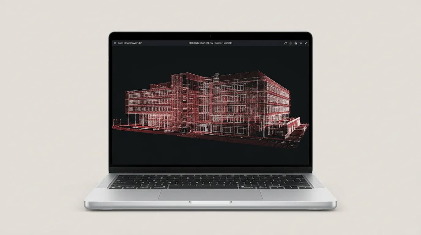

Laser scanning, field measurements and 3D modeling of structures of any complexity. Accuracy from 1 mm.
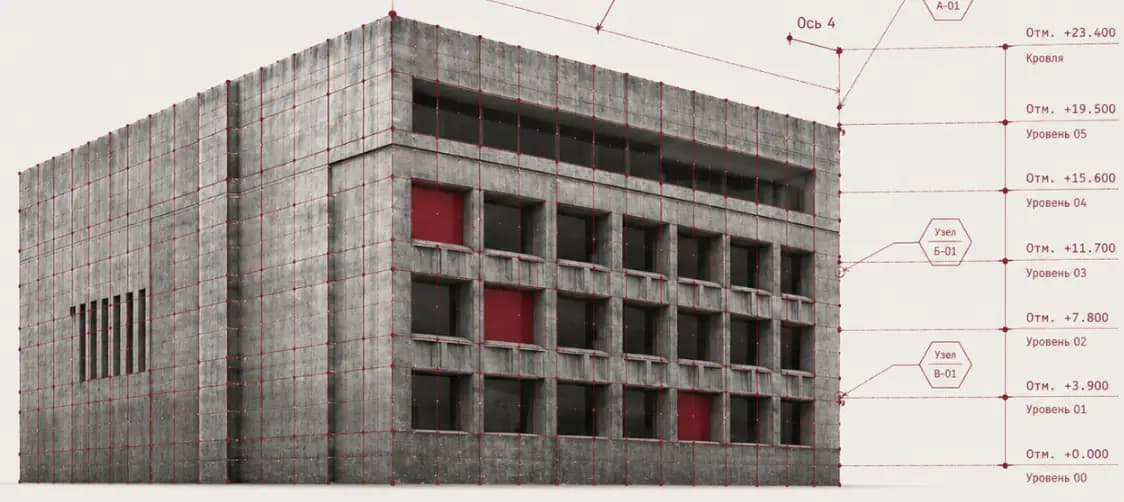
The same capture scope helps developers, designers, contractors and inspection teams in different ways. Start with the role to choose deliverables faster.
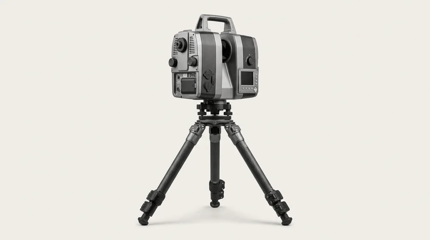
High-precision scanning of objects and generation of point clouds.
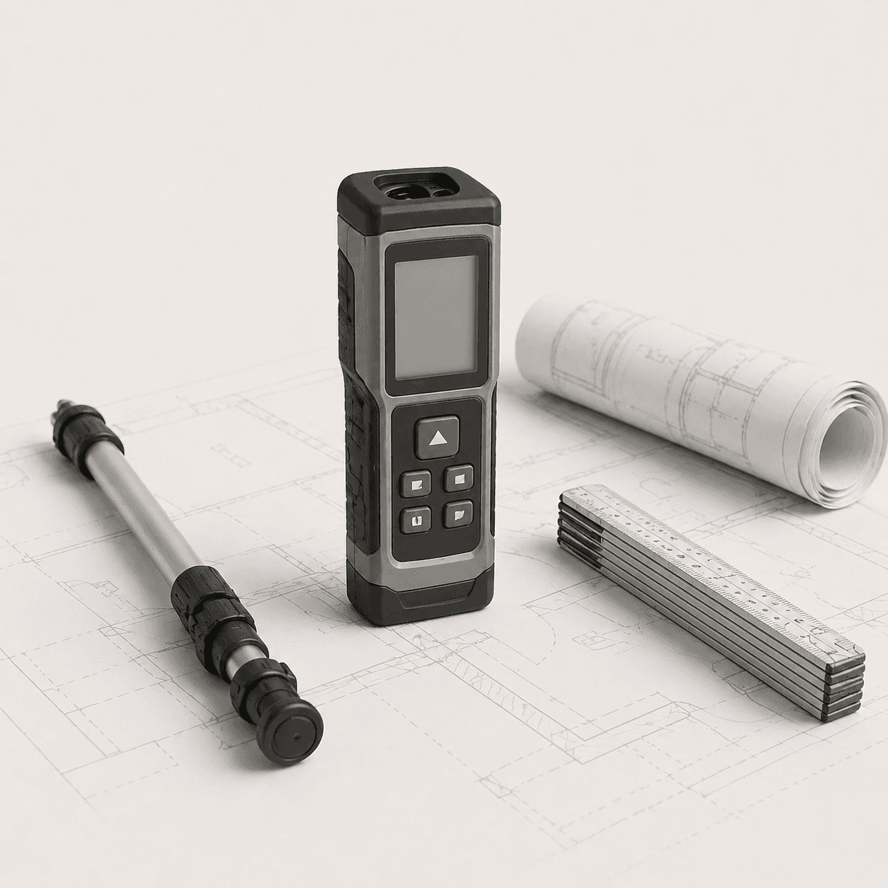
Measurements using laser rangefinders, total stations, GNSS and other equipment.
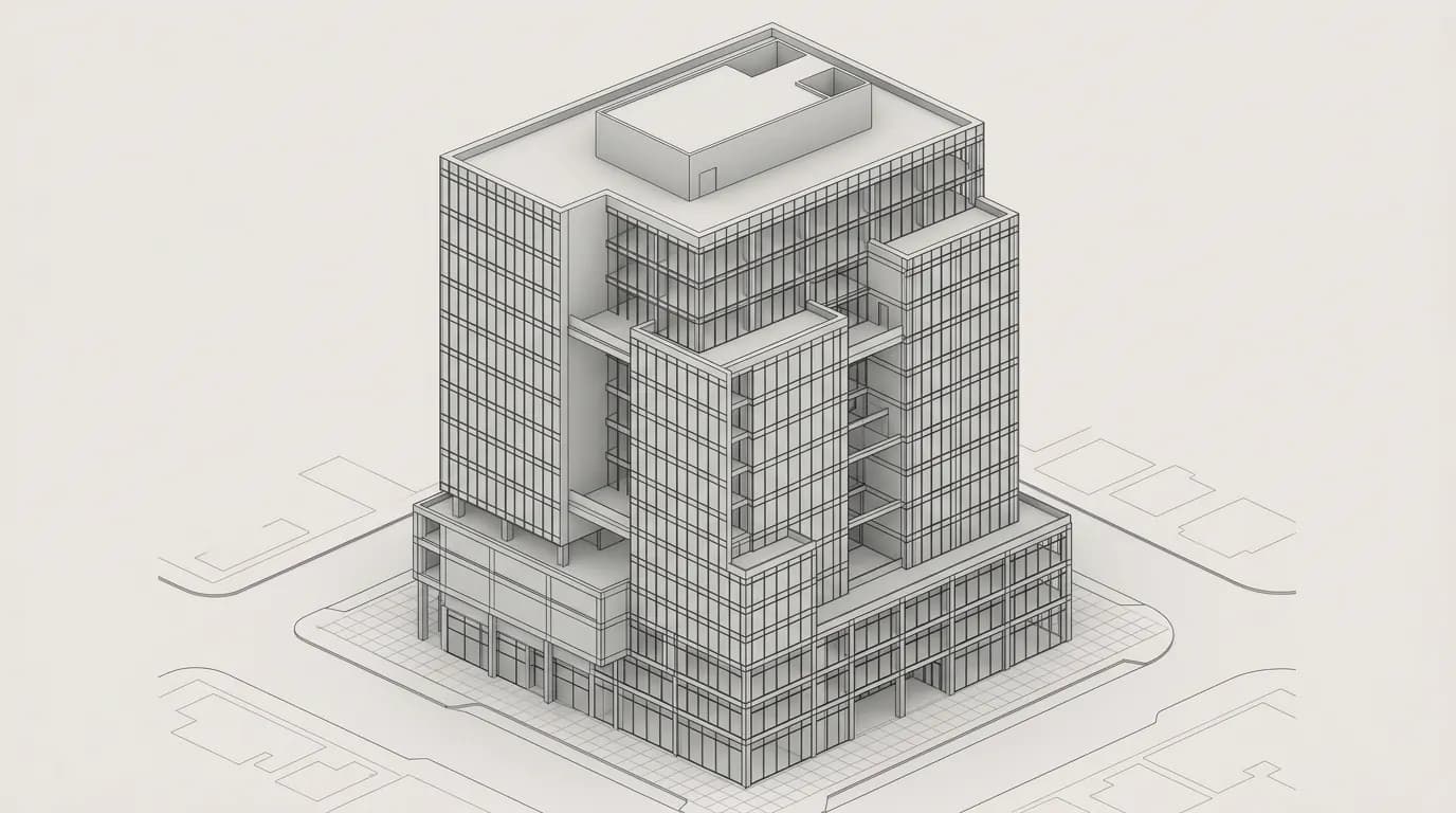
3D models, BIM models (Revit, IFC) and technical documentation.

Panoramic tours, photo capture, Matterport, Theta Z1.
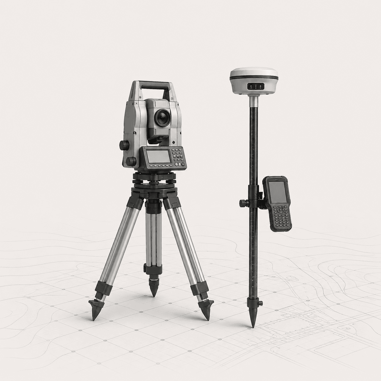
Engineering and topographic surveys, GNSS and total station work for design and construction.













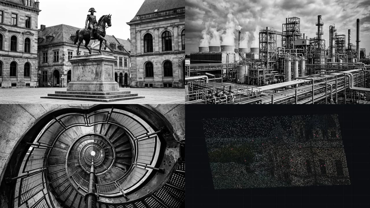







All your data and 3D models are available online on our SPLINE360.SPACE platform.
Briefly describe your request in the form below or message us on Telegram — we’ll reply with timing and data format guidance.
