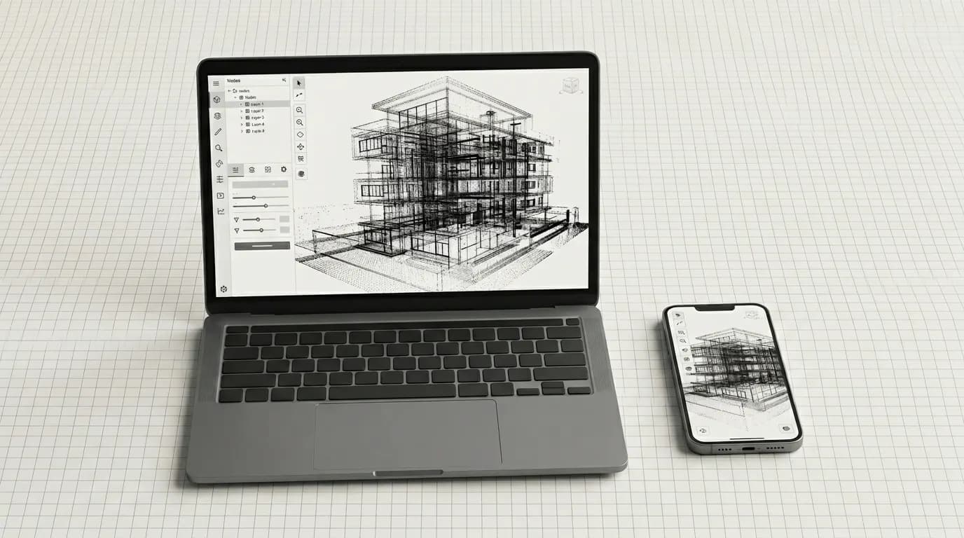
Photogrammetry
and aerial capture
for facades, roofs and heritage

Orthophotos, textured mesh and point clouds
for surveys, restoration and design

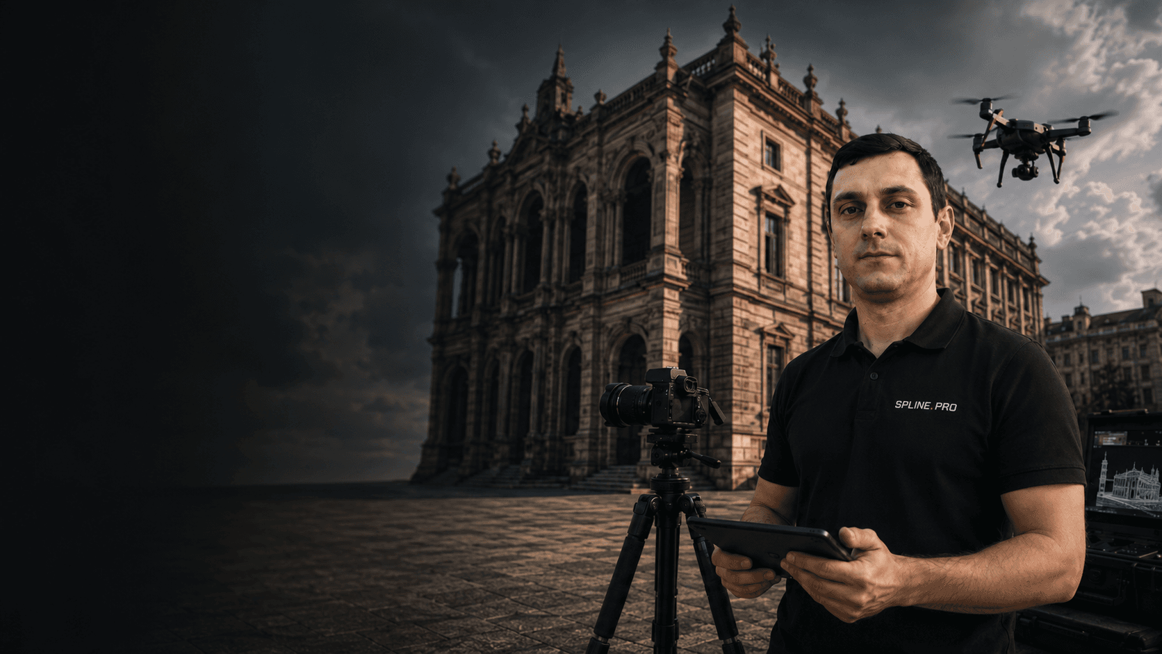
We capture complex surfaces and hard-to-reach zones from the ground and by drone

  • since 2016
  • 900+ projects/year
  • TIFF / OBJ / E57
  • ground + drone

What you get

Facade and rooforthophotos

Textured3D model

Densepoint cloud

Materialsfor restoration

Use cases

When photogrammetry is needed

  • You need a facade orthophoto

    When a scaled facade elevation is needed with windows, joints, materials, defects, decor and actual surface condition.

  • You need a textured 3D model

    When the visual appearance matters as much as geometry: color, material texture, damage, finishing elements and historic details.

  • The object is complex or hard to access

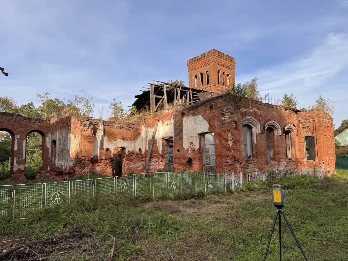
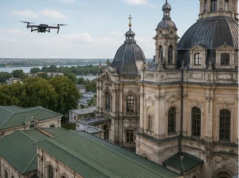
    Roofs, towers, facades, courtyards, territories, industrial sites, monuments, sculptures and decorative elements.

  • You need to record the current condition

    Before restoration, reconstruction, demolition, inspection, design work or handover to contractors.

  • You need to complement laser scanning

    Photogrammetry adds textures, orthophotos, visual detail and restoration or presentation materials to the point cloud.

Output formats

We show the deliverable, not just the capture

Photogrammetry is useful when the client needs to see and transfer the actual surface condition: an elevation orthophoto, textured mesh, dense point cloud or clear PDF package for restoration and design teams.

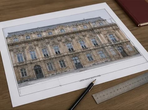
  • Example of a facade orthophoto with grid and defect contours

    Facade or roof orthophoto

    A scaled image without perspective distortion for defect mapping, elevations, drawings and approvals.

    • TIFF
    • PDF
    • JPG
    • DWG
  • Example of a textured mesh model of a heritage object

    Textured mesh model

    A 3D model with actual surface texture for visual analysis, restoration, presentations and point-cloud integration.

    • OBJ
    • FBX
    • GLB
    • PLY
  • Example of a dense point cloud of a roof and facade

    Dense cloud / point cloud

    A dense photogrammetry base for geometry, mesh creation, shape control and export to engineering formats.

    • LAS
    • LAZ
    • E57
    • XYZ
  • Example of a restoration report based on photogrammetry

    PDF, defect schemes and handoff package

    Outputs can be prepared as a report, image album, defect scheme or archive for the design and restoration team.

    • PDF
    • PNG
    • XLSX
    • ZIP
Method choice

Photogrammetry, drone capture, scanning or BIM

These methods are often confused. In short: photogrammetry is strong for surface capture and orthophotos; laser scanning is strongest for geometry; simple drone capture is mainly overview imagery; BIM is modeling based on collected data.

CriterionPhotogrammetryLaser scanningSimple drone captureBIM / 3D modeling
When to chooseYou need surface condition, texture, defects, facade, roof or heritage capture.You need maximum geometry accuracy and a complete object point cloud.You need overview photos/video without a measurable model or orthophoto.You need a working design model based on capture or scanning data.
Visual detailStrong: texture, color, damage, masonry, decor and surface condition.Limited without photo capture; strong for shape, not always for texture.Photos are available, but without connected 3D geometry and scale.Depends on modeling scope; actual texture is usually not the main goal.
Geometry and accuracyDepends on capture, control points and surface quality; good for orthophotos and visual models.Best for high accuracy, complex interiors and coordinate basis.Low measurability without photogrammetric processing.Geometry is created from source data and the agreed LOD/LOG.
DeliverablesTIFF/PDF orthophotos, OBJ/FBX/GLB/PLY mesh, LAS/LAZ/E57 when needed, PDF schemes.E57/RCP/LAS point cloud, DWG, BIM and orthophotos in a combined capture.Photos, video, overview materials and sometimes a simple map by request.RVT, PLN, IFC, DWG/PDF, 3D model and schedules by agreed scope.
LimitationsWeak on flat, mirror, transparent and poorly lit surfaces.Does not replace textures and visual capture without photo or aerial capture.Does not solve measurable facade elevations and mesh models by itself.Not a capture method; quality depends on the source data.

For complex objects we often recommend a combination: laser scanning for geometry and photogrammetry for texture, facades and hard-to-reach zones.

Choose a method
Estimate

What affects price, timeline and accuracy

Photogrammetry is rarely priced by a single button: cost and timing depend on area, access, drone use, control points, required accuracy and deliverables. We first clarify the task and suggest a rational scope.

Prices and timelines are market and experience-based references, not a public offer. The exact estimate depends on the object, access, weather, permissions and deliverables.

  • Area and detail

    Larger facades/roofs and finer details require more capture and processing.

  • Access and site regime

    Height, courtyards, security, scaffolding, weather windows and time limits affect scope.

  • UAV and permissions

    Roofs, domes and hard-to-reach zones often require aerial capture and site coordination.

  • Control points

    Used for scale, coordinate tie-in and better accuracy control.

  • Required accuracy

    Visual capture, orthophotos and engineering bases need different scopes.

  • Output formats

    TIFF/PDF, OBJ/FBX/GLB, LAS/E57, CAD/BIM and reports require different preparation.

Typical market references

  • Preliminary estimate

    Usually within 1 business day after address, dimensions, task and required output.

  • Small facade or roof

    Capture 1 day, processing 2?5 business days. Simple tasks often start from 70?120k RUB in Russia.

  • Heritage or complex object

    Capture 1?3 days, processing 5?15 business days. Scope and budget are estimated individually.

  • Combined capture

    When both accurate geometry and texture are needed, we add laser scanning and control points.

Process

How the work is done

  1. 01

    Request and task

    The client sends the address, object type, approximate dimensions, task, required formats and access constraints.

  2. 02

    Survey plan

    We define zones, angles, photo overlap, the need for a drone, control points and possible combination with laser scanning.

  3. 03

    Photo or aerial survey

    We survey the object with the required frame overlap, capturing facades, roofs, territories, decor, defects and complex surfaces.

  4. 04

    Photogrammetric processing

    We align photographs, build a dense point cloud, mesh model and textures, then check data quality.

  5. 05

    Orthophotos and export

    We prepare orthophotos, a textured model, point cloud, images and other materials in agreed formats.

  6. 06

    Result handover

    We transfer files and data structure and, when needed, help use the materials in CAD, BIM, reports or restoration documentation.

Estimate

Input data for a quote

For an initial estimate, send the address, object type, approximate dimensions, task, required formats and access constraints. Photos, old drawings or a brief help us estimate the survey faster.

  • Address and object type
  • Approximate dimensions or area
  • Task: orthophoto, mesh, point cloud, report
  • Required output formats
  • Existing photos, drawings or project materials
  • Access constraints, site mode and possible aerial survey limits
FAQ

Frequently asked questions

  • How does photogrammetry differ from laser scanning?

    Photogrammetry builds a model from photographs and works well for textures, orthophotos and visual surface capture. Laser scanning provides more reliable geometry and point clouds for accurate measurement, BIM and design. The two technologies are often used together.
  • How much does photogrammetry cost?

    Simple facade or roof tasks in Russia often start from 70?120k RUB. Heritage sites, large facades, combined capture, control points and complex deliverables are estimated individually. For a preliminary estimate, address, dimensions, task and required output are usually enough.
  • How long do capture and processing take?

    A preliminary estimate is usually prepared within 1 business day. A small facade or roof: 1 day of capture and 2?5 business days of processing. Heritage or complex objects: 1?3 days of capture and 5?15 business days of processing.
  • What can be delivered from photogrammetry?

    Orthophotos, a textured 3D mesh model, a dense point cloud, facade images, materials for reports, restoration documentation and further modeling.
  • Is photogrammetry suitable for facades?

    Yes. Photogrammetry is well suited for facades, especially when orthophotos, textures, decor, damage, joints, materials and visual surface condition are needed.
  • Can a drone be used?

    Yes, if it is technically possible and compatible with the object conditions. Aerial survey can be used for roofs, territories and hard-to-reach zones. Flight conditions and restrictions are discussed before the site visit.
  • Are control points required?

    Not always for simple visual tasks. For scaling, coordinate referencing, orthophotos and improved accuracy, control points and geodetic referencing may be used.
  • What is the accuracy of photogrammetry?

    Accuracy depends on survey quality, distance to the object, optics, photo overlap, lighting, control points and surface type. For tasks where geometric accuracy is critical, it is better to use photogrammetry together with laser scanning.
  • Can a BIM model be made from photogrammetry?

    It can, but photogrammetry is more often used as an additional data source: textures, orthophotos, mesh and visual capture. Accurate BIM models usually rely on laser scanning or a combination of technologies.
  • Can you work under NDA and with restricted sites?

    Yes. We can sign an NDA, agree access rules, keep materials out of the portfolio and transfer data only to the authorized client team.
  • Which objects are poorly suited for photogrammetry?

    Glossy, transparent, plain, poorly lit, moving or heavily occluded surfaces can process worse. These limitations should be considered when planning the survey.
  • How are large files transferred?

    Files are transferred through an agreed cloud storage, an archive link or via SPLINE360.SPACE if the project is managed on the platform.

Get a photogrammetry quote for your object

Describe the object, materials and formats you need — we will advise whether photogrammetry is enough or a combined survey is a better fit.

Request a quote

For a preliminary estimate, address, object type and required output are enough. If you have photos, old drawings, a brief or access restrictions, attach them to the request.

  • Scope response from the team
  • Plans or photos can be attached
  • We advise on deliverables

[EN] How would you like us to contact you?

[EN] Files

Attach a brief, plan, DWG/PDF or link. No files yet? Send the request without them.

We usually reply and clarify source data within one business day.