
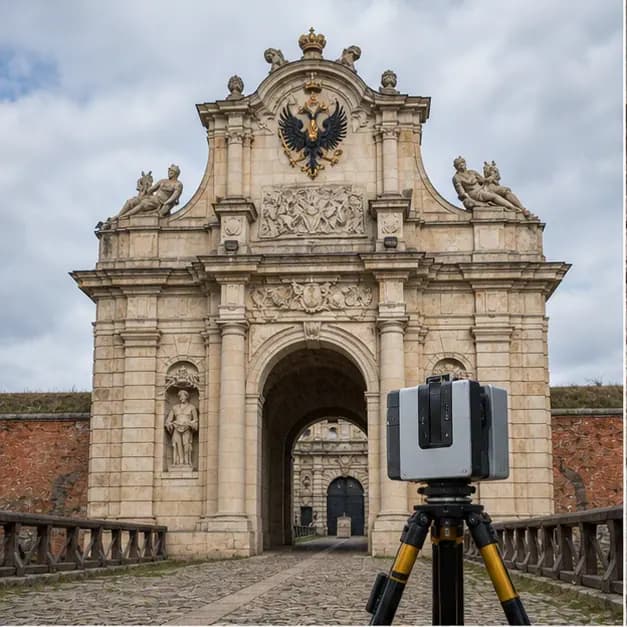
Peter's Gate at the Peter and Paul Fortress
- LocationSaint Petersburg, Russia
- Scope5 work packages
- FormatsE57, RCP, OBJ (3D Mesh)
High-definition surveying of historic gates and fortification geometry for conservation records and as-built plans.
High-definition surveying of historic gates and fortification geometry for conservation records and as-built plans.
About the project
High-definition surveying of historic gates and fortification geometry for conservation records and as-built plans.
Deliverables: E57, RCP, OBJ (3D Mesh), GeoTIFF (orthophotos), DWG/DXF.
What the client received
- E57
- RCP
- OBJ (3D Mesh)
- GeoTIFF (orthophotos)
- DWG/DXF
Work in progress
- View 1Peter's Gate at the Peter and Paul Fortress. Visual 1.
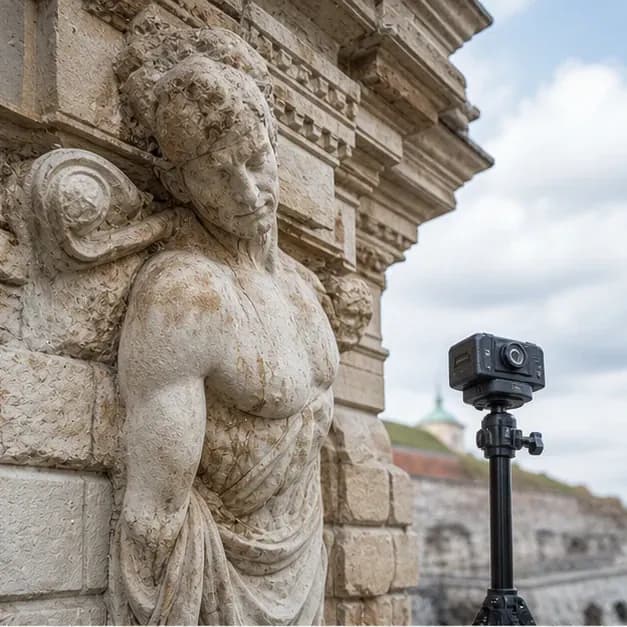
- View 2Peter's Gate at the Peter and Paul Fortress. Visual 2.
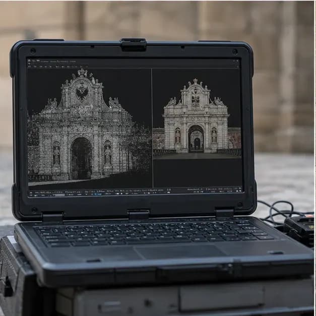
- View 3Peter's Gate at the Peter and Paul Fortress. Visual 3.
Related services
Object types
Planning a similar project? Let’s discuss the site
We will define the scope, schedule, and deliverables.