360° object photo tour
for design, renovation
and remote review

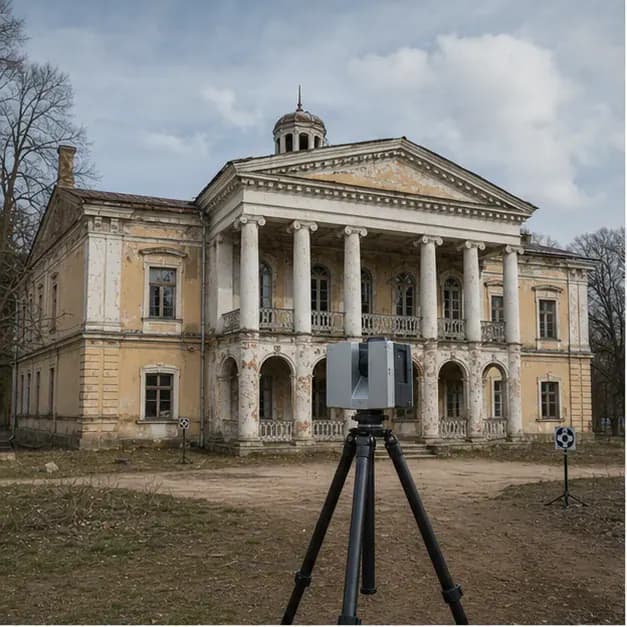
We capture rooms, engineering zones,
openings, finishes and disputed details

The object stays at hand: the team returns by link without repeat site visits

Who it helps

Designersand architects

HoReCaand retail

Before / aftercondition capture

Link + measurementsor scanning

Value

Why make a 360° photo tour

  • Fewer repeat site visits

    The team can return to the object by link and check details without another inspection.

  • One visual archive

    Panoramas and photos do not get lost in chats; they remain in a clear structure.

  • Object handoff to contractors

    Designers, architects, and builders understand the object context faster.

  • Condition capture

    Useful before renovation, after demolition, during work, and at handover.

  • A complement to measurements

    The photo tour shows condition, while measurements and laser scanning provide accurate dimensions.

Deliverable scope

Visual object passport

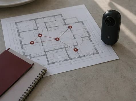
  • 360° panorama points

    • spherical object panoramas
    • capture points by room and zone
    • visual record of current condition
    • browser-based viewing
  • Standard detail photos

    • photos of important details and fragments
    • engineering zones and services
    • openings, finishes, furniture, and equipment
    • defects, damage, and disputed areas
  • Room structure

    • logic by rooms and zones
    • grouping by floors, blocks, or objects
    • transitions between points
    • clear room names
  • Viewing link

    • tour access by link
    • viewing without heavy software installation
    • handoff to designer, architect, contractor, or client
    • one access point for the team
  • Material archive

    • source panoramas and files
    • standard object photos
    • ready panorama materials
    • archive for control and returning to object condition
  • Connection with accurate data

    • can be combined with measured surveys
    • DWG or PDF plans can be added
    • can be used together with a BIM model
    • can supplement a point cloud after scanning
  • Publishing or archive handoff

    • publishing in SPLINE360.SPACE
    • ready archive handoff
    • agreed access format
    • available functions depend on the selected publishing format
For estimate

Source data needed for a quote

For a preliminary estimate, the object address, approximate area, number of rooms, task, and desired publishing format are enough. If you have a floor plan, BTI plan, room diagram, or designer brief, attach it to the request.

  • object address
  • approximate area
  • number of rooms
  • object type
  • whether you need only a photo tour or photo tour plus photo capture
  • whether SPLINE360.SPACE integration is needed
  • whether a floor plan or BTI plan is available
  • access restrictions
  • privacy requirements
  • desired deadline
  • whether a joint visit with measurements or scanning is needed
Objects

Objects suited for 360° tours

  • apartments
  • premium apartments
  • offices
  • restaurants and cafes
  • shops
  • showrooms
  • salons
  • fitness clubs
  • banks and client offices
  • construction sites
  • spaces after demolition
  • objects before renovation
  • commercial spaces
  • location networks
  • historic buildings
  • industrial and technical spaces, if access and site rules allow
See all objects
Metrics

By the numbers

2016
working with measurements, scanning, panoramas, and digital object capture
900+
projects per year pass through the SPLINE.PRO production workflow
360°
panoramic object review without a repeat site visit
1link
materials can be handed off to the client and team through a tour or project
2modes
photo tour as a standalone service or as an add-on to measurements, scanning, and BIM
Process

How the work is done

  1. 01

    Request

    The client sends the address, object type, area, task, desired tour format, and access requirements.

  2. 02

    Capture point plan

    We define zones, rooms, key points, tour route, need for standard photo capture, and any link with measurements or scanning.

  3. 03

    Site visit and capture

    A specialist captures 360° panoramas, photographs important details, and records rooms, MEP zones, openings, finishes, and disputed areas.

  4. 04

    Tour assembly

    Panoramas are processed, structured, connected with transitions, and labeled by rooms or zones.

  5. 05

    Publishing

    The tour is published in the agreed format: link, archive, Matterport, or SPLINE360.SPACE.

  6. 06

    Result handoff

    The client receives the link, files, project structure, and viewing or handoff notes for the team.

Technology

Capture and publishing tools

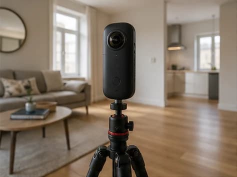
  • Technical diagram: Ricoh Theta Z1

    Ricoh Theta Z1

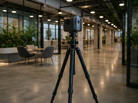
    Spherical 360° panorama capture for interiors, commercial objects, and project photo records.

  • Technical diagram: Matterport

    Matterport

    Used for panorama tours and visual object review when the format fits the task.

  • Technical diagram: Photo capture

    Photo capture

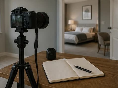
    Standard photos of details, MEP zones, finishes, defects, and complex areas supplement the panoramas.

  • Technical diagram: SPLINE360.SPACE

    SPLINE360.SPACE

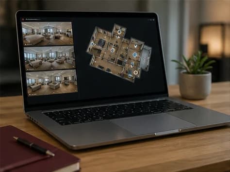
    Publishing and handoff of panorama materials through the browser, links, and project structure.

  • Technical diagram: Measurement and scanning combo

    Measurement and scanning combo

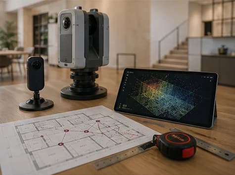
    A photo tour can be done together with measurements, laser scanning, DWG, and BIM so the team has both dimensions and visual context.

Packages

Work formats

  • Review

    When the object needs to be shown remotely, fast.

    • 360° panoramas
    • basic room structure
    • viewing link
    • remote review by the team
  • Design

    For designers, architects, and project teams.

    • object photo tour
    • standard detail photos
    • room structure
    • handoff to the project team
  • Control

    For renovation, construction, contractors, and owners.

    • stage-by-stage capture
    • before and after condition record
    • material archive
    • materials for approvals and handover
  • Network

    For cafes, restaurants, shops, offices, and branches.

    • one format for several objects
    • consistent deliverable structure
    • capture by agreed schedule
    • link access for the team
  • Accurate object

    When the photo tour is needed together with dimensions, DWG, BIM, or a point cloud.

    • 360° photo tour
    • measurements or laser scanning
    • DWG/PDF plans
    • BIM model or point cloud
    • one combined site visit
Practice

Cases and typical scenarios

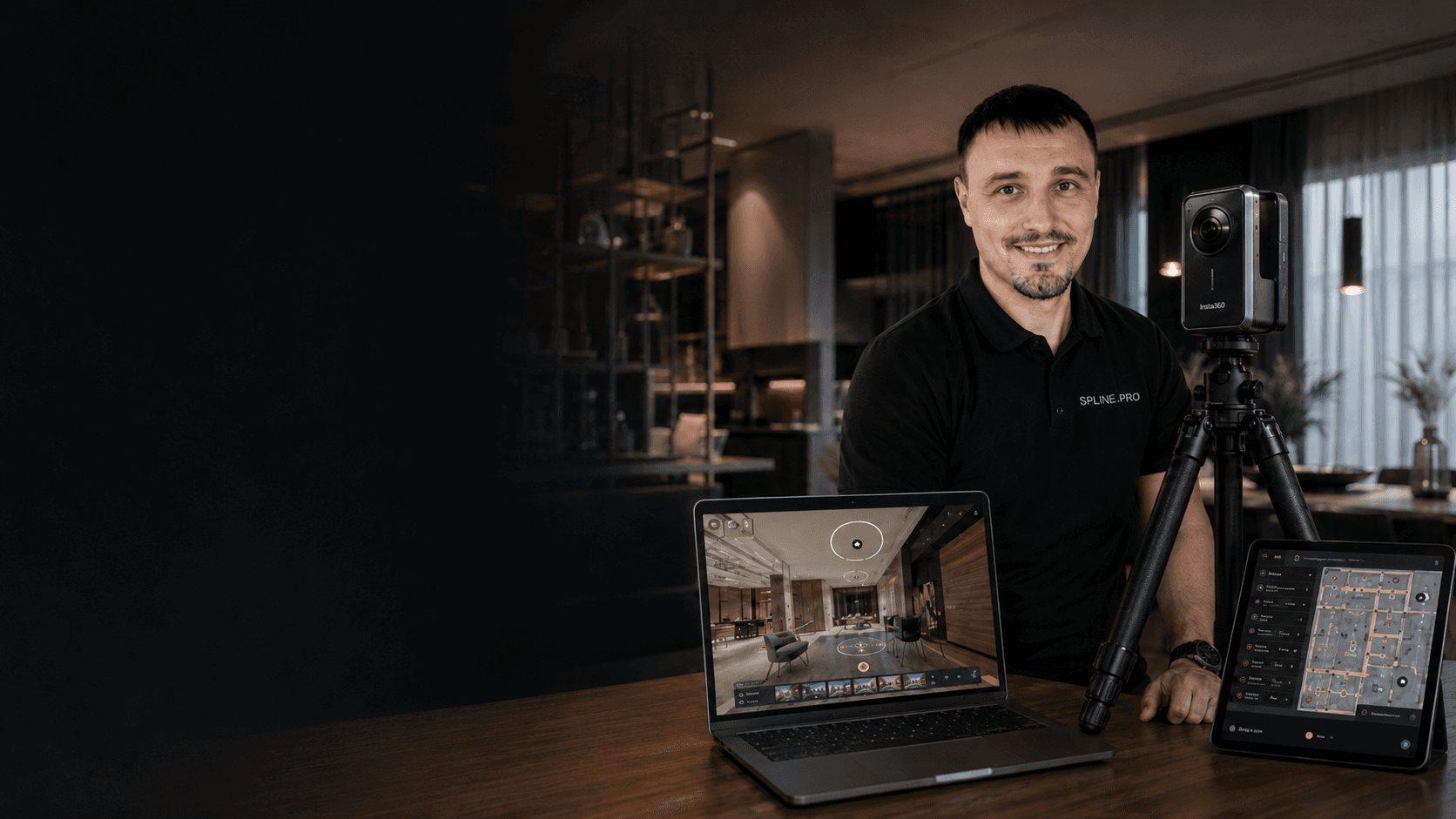
SPLINE360 platform interface on laptop and mobile devices
Platform

SPLINE360.SPACE — a workspace for panorama tours and object materials

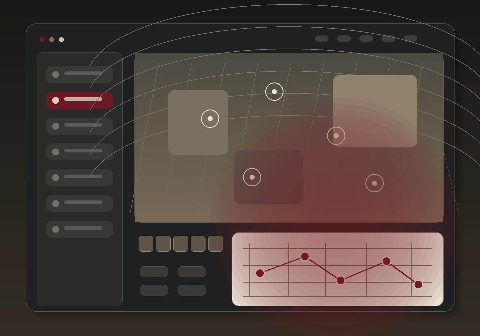
A panorama tour can be published in SPLINE360.SPACE, the SPLINE.PRO service for viewing 360° object materials. This format is useful when a link must be shared with the team, client, contractors, or management company.

  • panorama viewing by link in the browser
  • material handoff to the project team, client, or contractors
  • access format is agreed around the task and object privacy
  • object structure by rooms, zones, floors, or stages
  • ability to connect the photo tour with other object materials in an agreed format
  • available functions depend on the selected publishing format and project scope
Accurate data

When a photo tour alone is not enough

A 360° photo tour shows object condition, but it does not replace accurate measurements. If you need design drawings, a BIM model, or exact dimensions, combine the photo tour with measured surveys or laser scanning.

  • Accurate dimensions are needed

    For design, area calculations, working drawings, and a BIM model.

  • Complex geometry

    Curved walls, facades, stairs, level changes, and non-standard forms.

  • Large object

    Many rooms, floors, technical zones, or complex navigation across the object.

  • Engineering systems

    Ceiling services, ventilation, pipes, equipment, and installation zones.

  • A BIM model is needed

    BIM and Scan-to-BIM require measurements, laser scanning, or a point cloud.

  • High cost of error

    Reconstruction, construction, expensive finishes, heritage work, or commercial launch.

Comparison

Photo tour, measurements, scanning, or BIM

Criterion360° photo tourMeasurementsLaser scanningBIM / 3D model
What it showsObject condition, details, finishes, engineering zones, and disputed areas.Layout, dimensions, heights, openings, and basic room geometry.Accurate point cloud, complex geometry, facades, heights, and curved elements.Object model for design, coordination, and further work.
DeliverablePanoramas, photos, room structure, link, or archive.Plans, dimensions, DWG/PDF, and source data for a design project.E57/RCP/RCS/LAS point cloud and data for accurate modeling.RVT/IFC/PLN/SKP or another agreed model format.
When to chooseThe team needs to see the object and receive it by link.Plans and dimensions are needed for renovation, furniture, or design.High accuracy, complex geometry, or a large object is involved.A model is needed for design, approvals, and operation.
LimitDoes not replace accurate dimensions and drawings.Does not provide a full visual walkthrough of the object.Requires data processing and a selected deliverable format.Requires source geometry: measurements, scanning, or project documentation.
How to combineAdds visual context to measurements, DWG, point clouds, and BIM.Pairs well with a photo tour for simple spaces.Pairs well with a photo tour for complex and high-responsibility objects.Receives visual context from the tour and accurate geometry from measurements or scanning.

If you need design drawings, a BIM model, or exact dimensions, combine the photo tour with measured surveys or laser scanning.

Segments

Who benefits most from a 360° photo tour

  • Designers and architects

    Check openings, outlets, finishes, furniture, wet zones, ceilings, and complex areas without another inspection.

  • HoReCa and retail

    Every restaurant, cafe, shop, or office is captured in a consistent format and shared with the team by link.

  • Property owners

    A visual object history appears for disputes before renovation, lease, handover, or demolition.

  • Contractors

    Contractors can inspect the object remotely and prepare for work faster.

  • Developers, operators, and networks

    Objects are captured in one structure and remain available to the team without constant site visits.

FAQ

FAQ

  • How is a 360° photo tour different from regular photos?

    Regular photos show separate fragments and quickly get lost in chats. A 360° photo tour shows the whole room, provides transitions between points, and lets the team return to the object by link.
  • Does a photo tour replace measurements?

    No. A photo tour captures the visual condition of the object. Accurate dimensions, plans, DWG, BIM models, or point clouds require measurements or laser scanning.
  • Can the photo tour be combined with measurements?

    Yes. Often the photo tour is done in one visit with measurements or laser scanning, so the client receives both accurate data and a visual archive.
  • Where will the tour be hosted?

    The tour can be delivered as an archive, by link, or published in SPLINE360.SPACE. The format depends on the task, privacy requirements, and project scope.
  • Can access to the tour be restricted?

    Yes, the access format is agreed in advance. Materials can be shared by a closed link or in a private format suitable for the project.
  • Which objects are suitable for a 360° photo tour?

    Apartments, offices, restaurants, cafes, shops, commercial spaces, construction sites, pre-renovation spaces, network locations, and objects that need to be shown or handed over remotely.
  • What is needed for a quote?

    Address, area, object type, approximate number of rooms, and a floor plan if available. It also helps to specify whether you need only a photo tour or a package with measurements, scanning, DWG, or BIM.

Capture the object and share it with the team by link

Send the address, area, object type, and floor plan. We will suggest the capture format: 360° photo tour, photo capture, Matterport, SPLINE360.SPACE, or a package with measurements, scanning, DWG/BIM.

The request form is loading