Laser
scanning of objects

Accurate source data for design
with accuracy from 1 mm

Point clouds, drawings and 3D models — from 1 business day

  • from 1 day
  • accuracy from 1 mm
  • E57 / RCP / RVT
  • site visit from RUB 35k

What you get

High-densitypoint cloud

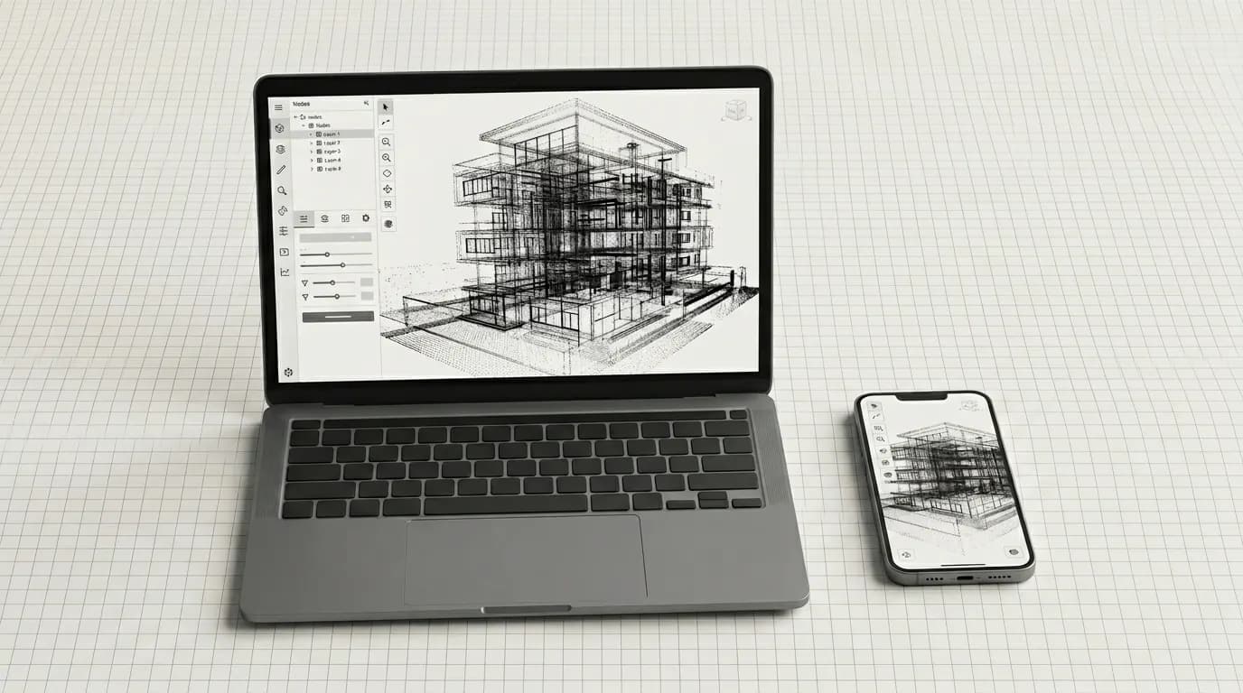
3D modelof the object

Measured surveydocumentation set

Data formatsRevit, Archicad,Autocad, Sketchup

  • from 1 mmdesign-grade data accuracy
  • from 1 daypoint cloud after site visit
  • E57 / RCP / RVTproduction CAD and BIM formats
  • 910 objectsscanned by the team in 2025

Laser scanning gives teams a verifiable digital base: designers work from a complete coordinate dataset, not an approximate survey.

Challenges

When you need laser scanning

  • No up-to-date drawings

    Design needs to start, but existing plans are outdated, inaccurate or missing.

  • The object is difficult to measure manually

    Many rooms, levels, curved elements, engineering systems, facades or hard-to-reach areas.

  • BIM / Revit / IFC required

    You need an accurate digital base for modelling, reconstruction or operation.

  • The current state must be recorded

    Before renovation, dismantling, handover, construction control or a dispute about actual volumes.

  • The cost of an error is high

    An error in source data can lead to rework, delays, contractor conflicts and extra costs.

Fast estimate

Show us the object before the visit and we will propose the scope

For a preliminary quote we need the address, area, scanning goal and required output: point cloud, DWG, BIM or 360 capture.

  • timeline estimate
  • output format advice
  • lower risk of repeat visits
Deliverables

What the client receives

  • Point cloud

    • E57
    • RCP / RCS
    • LAS / LAZ if needed
    • Cleaned and registered point cloud
  • Drawings

    • DWG
    • PDF
    • Plans
    • Sections
    • Facades
    • Elevations / unfoldings
    • Schedules and room legends
  • 3D / BIM

    • Archicad / PLN
    • Revit / RVT
    • IFC
    • 3D model from point cloud
    • Model for design and reconstruction
  • Photo capture and 360°

    • Panoramas
    • Photo tour
    • Matterport / Ricoh Theta Z1 if needed
    • Data placement in SPLINE360.SPACE
How the service is packaged

A clear estimate: visit, scanning, processing and required output

We split the work into field capture and deliverable preparation. The client sees what they are paying for: accuracy, coverage, output format and speed of handoff to the design team.

Russia market budget anchors

Final price depends on area, access, height, required accuracy, night windows and deliverable scope. The numbers below are for initial budget orientation.

  • Minimum visit

    from 35,000 RUB

    small object or city inspection

  • Point cloud

    from 60 RUB/m²

    scanning, registration, E57/RCP/RCS/LAS

  • DWG / PDF

    from 180 RUB/m²

    plans, sections, facades and elevations from the cloud

  • BIM / 3D

    from 320 RUB/m²

    Revit, Archicad, IFC or 3D model at required LOD

Where laser scanning wins

MethodBest fitLimitationScanning role
Manual measurementsimple spaces, straight walls, low error costhard to verify omissions, curves, heights and engineering zonescreates a full digital archive and lowers rework risk
Photogrammetryfacades, roofs, visual capture and texturesdepends on lighting, overlap and may not provide the required metric accuracycaptures geometry and can be combined with photo/orthophoto data
Geodesycoordinates, set-out, topography and control pointsdoes not replace a dense point cloud for interiors or facadesconnects geodetic control with detailed 3D geometry
3D modelingvisualization or a production BIM modelwithout scanning, the model relies on incomplete source databecomes the accurate basis for models, drawings and control

What lowers error risk

  • Tolerance agreed first

    Design, restoration and BIM need different detail levels. We lock accuracy before the start.

  • Formats named up front

    E57/RCP/RCS/LAS for clouds, DWG/PDF for drawings, RVT/IFC/PLN/SKP for models.

  • Inputs are clear

    Address, area, access, goal, required output and old materials if available.

For estimation

What source data we need

For a preliminary estimate, the object address, area, task and desired deliverables are enough. If you have old drawings, a brief, photos or project documentation, attach them to the request — this speeds up pricing.

  • Address and object type
  • Approximate area
  • What should be delivered
  • Required formats
  • Old drawings / brief / photos if available
  • Access limits, site regime or night work requirements
Objects

We scan

  • Buildings and structures
  • Facades
  • Interiors
  • Industrial facilities
  • Infrastructure and streets
  • Complex and non-standard objects
See all objects
Metrics

In numbers

910
projects in 2025
860
projects in 2024
2.5M
of measured area
from1mm
measurement accuracy
from1day
data delivery time
up to30days
large turnkey project
Hardware

Equipment

  • Image of Trimble X7 equipment

    Trimble X7

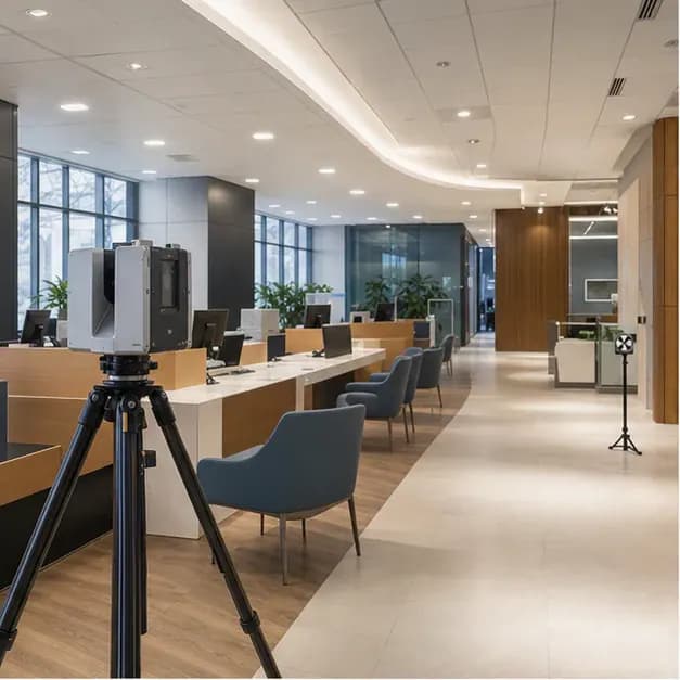
    Used for interiors, offices, retail spaces and facades when dense geometry is needed for DWG, BIM and accuracy control.

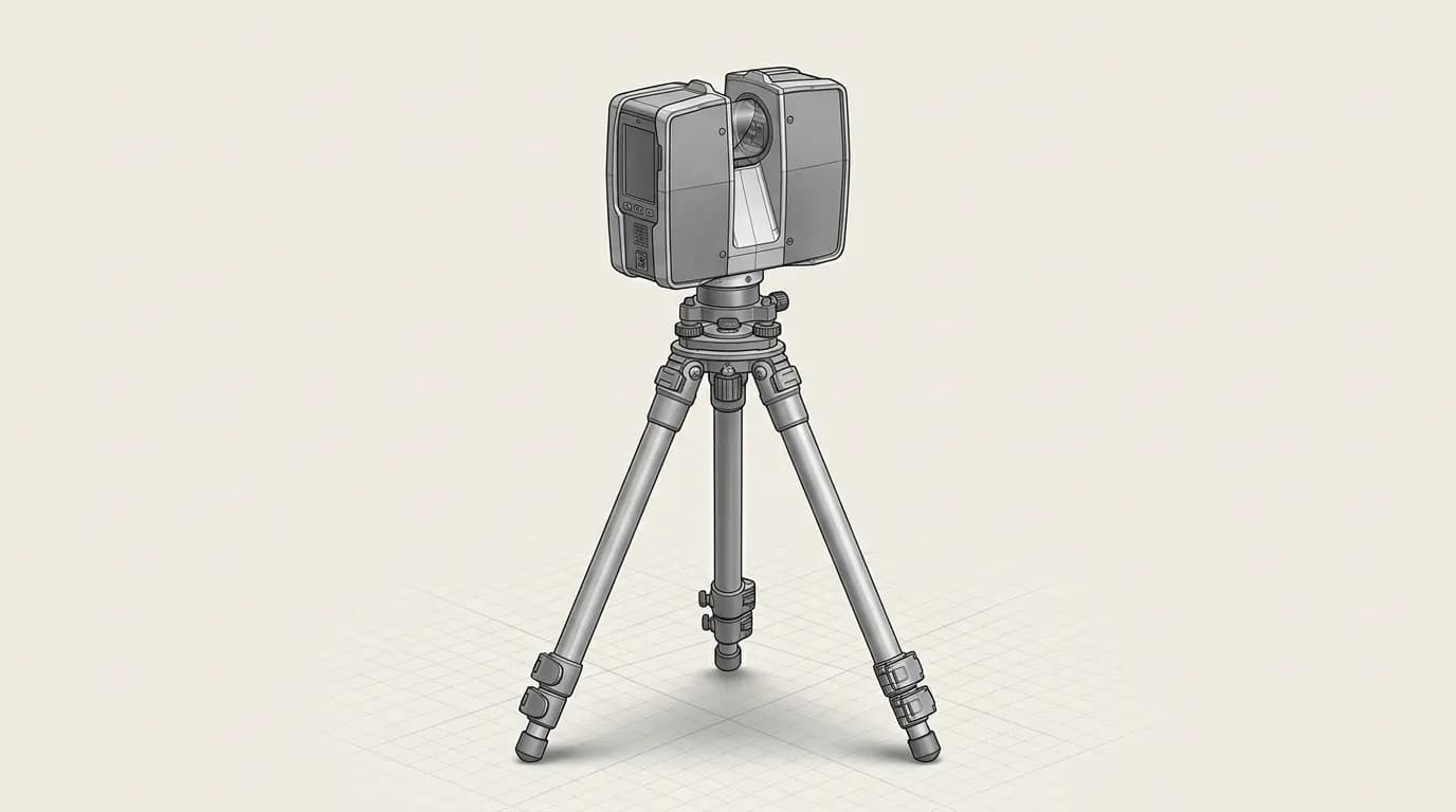
  • Image of FARO Focus S150 equipment

    FARO Focus S150

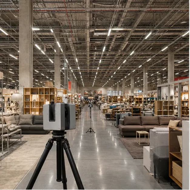
    Suitable for industrial facilities, engineering zones and large rooms; covers structures, equipment and extended areas.

  • Image of Lixel L2 Pro equipment

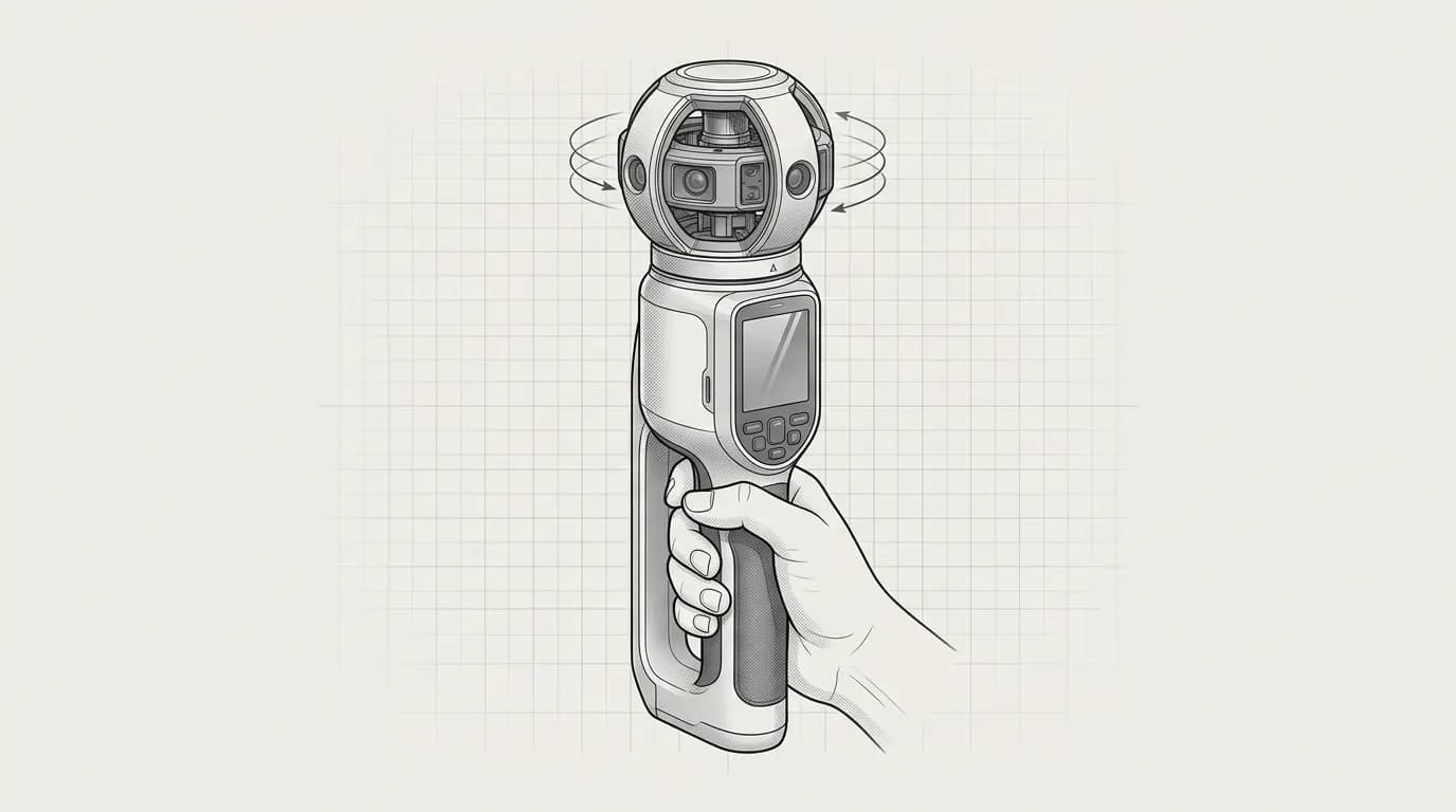
    Lixel L2 Pro

    Used for mobile routes, network premises, parks and areas where data and panoramas must be captured quickly.

  • Image of GNSS / total station equipment

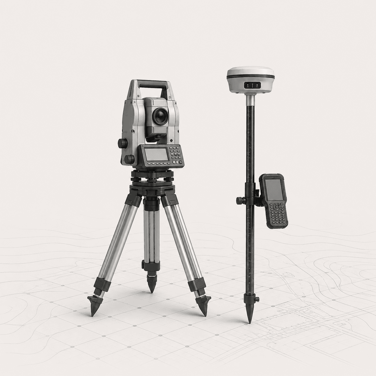
    GNSS / total station

    Added when the point cloud must be tied to survey control, coordinates, facade scanning or territory work.

Process

How we work

  1. 01

    Request

    The client sends the address, area, task, required formats and available source materials.

  2. 02

    Agreement

    We fix the scope, timeline, accuracy, delivery formats and site access conditions.

  3. 03

    Site visit

    A specialist scans the site, checks scan overlaps, captures complex zones and, if needed, records photos or panoramas.

  4. 04

    Scanning

    We capture a point cloud with the actual geometry of rooms, facades, structures or engineering systems.

  5. 05

    Data processing

    We register, clean and structure the cloud, then prepare data for drawings, BIM models or design teams.

  6. 06

    Delivery of documents

    We deliver files in agreed formats: E57, RCP/RCS, DWG, PDF, RVT, IFC, PLN and others.
Ready to estimate

Capture the object once, then design without guesswork

When the geometry is complex, old drawings are unreliable or error cost is high, laser scanning is cheaper than rework and repeat surveys.

  • 5-minute brief
  • estimate after inputs
  • NDA on request
Export

Delivery formats

  • Point clouds

    • E57
    • RCP
    • RCS
    • LAS / LAZ
  • Drawings

    • DWG
    • DXF
    • PDF
  • Models

    • RVT
    • IFC
    • PLN
    • SKP
  • Images and reports

    • JPG
    • PNG
    • PDF
    • Orthophoto
    • Technical report
Teams

Who it is for

  • Architects and designers

    For an accurate base before interior design, reconstruction and replanning.

  • Developers and owners

    For area audit, inventory and preparing an asset for reconstruction or sale.

  • Design engineers

    For working with the actual geometry of buildings, facades, structures and engineering systems.

  • Construction companies

    For as-built surveys, deviation control and current-state capture.

  • Restoration teams

    For historical buildings, facades, decorative elements and cultural heritage sites.

FAQ

Frequently asked questions

  • What is the scanning accuracy?

    Modern scanners deliver geometric accuracy from 1 mm for interiors and facades and 2–3 mm for large industrial and infrastructure objects. The final accuracy depends on the task and is agreed upon during the request stage.
  • How much does laser scanning cost?

    Pricing is calculated individually: it depends on the object size, accessibility, required accuracy, timeline and the scope of deliverables (point cloud, drawings, BIM). A typical quote is provided within 1 business day of the request.
  • How long does the work take?

    A small turnkey object takes from 1 business day. Large complexes (over 10,000 m²) take up to 30 days, depending on the set of deliverables. The timeline is always fixed in the contract.
  • What do we need from the client to get started?

    Object address, access details and a short description of the task. For large or restricted sites we will also need an access scheme and agreed visit dates. Existing drawings help speed up the preparation — please share them if available.
  • In what formats do you deliver the data?

    Point cloud — E57, LAS, RCP. 3D models — IFC, RVT, SKP, DWG, 3DS. Drawings — DWG, PDF. Orthophoto and reports — JPG, PNG, PDF. We can also prepare data in your corporate formats if needed.
  • Can scanning be done without old drawings?

    Yes. Old drawings help speed up preparation, but they are not required. Laser scanning is often done exactly when there is no up-to-date documentation.
  • Can you work at night or outside business hours?

    Yes. For shopping centres, restaurants, offices, banks and restricted sites, night or off-hours visits can be agreed.
  • Is scanning suitable for BIM modelling?

    Yes. A BIM model can be prepared from the point cloud in Revit, Archicad or IFC. The model scope and level of detail are agreed before work starts.
  • Can we receive only the point cloud without drawings?

    Yes. If the client has an in-house design or BIM team, we can deliver only a registered point cloud in E57, RCP/RCS or another agreed format.
  • How are large files transferred?

    Files are transferred through an agreed cloud storage, archive link or SPLINE360.SPACE if the project is managed on the platform.
  • Can you sign an NDA?

    Yes. For banks, industrial sites, private residences and restricted facilities, we can work under an NDA and an agreed access procedure.

Request a quote

Attach plans, photos or an object link if you have them. For the first estimate we need the address, approximate area, scanning goal and required output. Budget anchors: visit from 35,000 RUB, point cloud from 60 RUB/m², drawings from 180 RUB/m², BIM from 320 RUB/m².

  • Scope response from the team
  • Plans or photos can be attached
  • We advise on deliverables

[EN] How would you like us to contact you?

[EN] Files

Attach a brief, plan, DWG/PDF or link. No files yet? Send the request without them.

We usually reply and clarify source data within one business day.

Telegram