Point cloud, DWG or BIM: how to choose the right source-data format
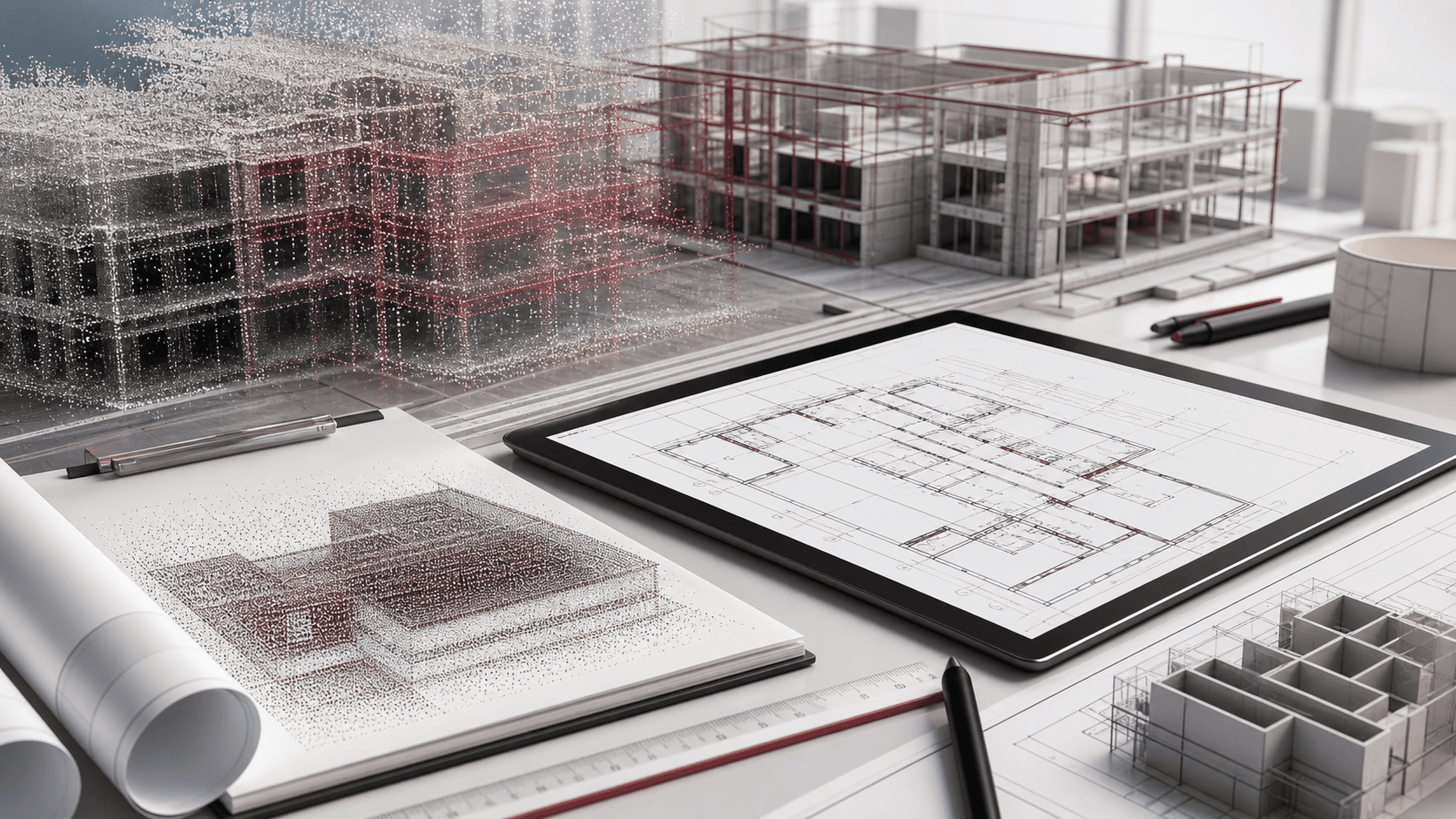
Point clouds, DWG and BIM serve different tasks. Agree the format with the receiving team: architects, contractors and inspectors may need different files from the same survey. Confirm software and deliverables before processing.
Point clouds are used to check geometry and model facades, structures and engineering zones. They require suitable software and skills. If the receiving team does not work with clouds, provide drawings, a model or viewer access.
DWG and PDF suit plans, elevations, sections and control diagrams. A drawing contains an agreed set of elements and dimensions. Agree the sheet list, scale, layers and drawing conventions before production.
BIM or 3D models are used for spatial coordination, clash checks and reconstruction planning. Agree levels, elements, parameters and detail. Some tasks need main structures and openings; others require engineering systems and junction details.
Photos and 360° panoramas complement measurements. They record surface condition, materials, junctions, temporary objects and access restrictions on the capture date. They support remote review and discussion with project participants.
Use DWG and PDF for drawings, point clouds for complex geometry checks, and models for spatial coordination. Photos and panoramas add condition records. Deliverables can be combined to meet the team’s tasks.
Need help defining the source-data scope?
Describe the site and the decision your team needs to make. We will suggest the capture method and deliverable formats.
Discuss the task