When laser scanning saves project time
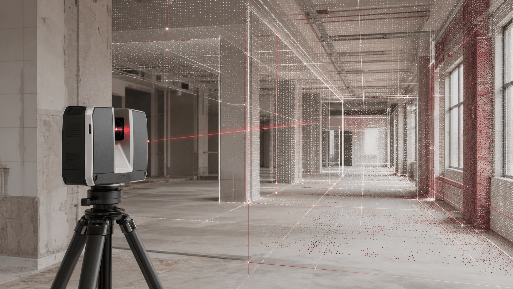
Scanning is useful when a project needs the actual geometry of an old building, a complex facade or engineering zones. A distance-meter survey is usually enough to measure a simple room area. The method depends on the task, accuracy and access.
After capture, a designer can check missing dimensions in the point cloud. Drawings, panoramas and photos record the geometry and appearance on the survey date and can be consulted later in the project.
Before the visit, agree critical zones, accuracy, working formats and access restrictions. Identify who will accept the files and which software they use. These requirements determine the capture route, cloud density and deliverables.
Renovation often requires plans and elevations. Reconstruction of a complex building may need a point cloud and BIM model. Panoramas help teams discuss rooms and details. Model scope and detail should match the design team’s task.
Access may be restricted at an active factory, church, shop, roof or technical room. Before capture, check schedules, permits, escorts and inaccessible zones. This allows measured and visual records to be collected within the agreed access window.
For a quote, explain which data the project needs and which dimensions or zones are missing from current documentation. Plans, photos and a task description help establish whether scanning is needed and which files to prepare.
Need help defining the source-data scope?
Describe the site and the decision your team needs to make. We will suggest the capture method and deliverable formats.
Discuss the task