
NLMK office building in Lipetsk
- LocationLipetsk, Russia
- Scope4 work packages
- FormatsE57, RCP, DWG
Commercial office and public zones scanned for as‑builts, lease plans, and tenant fit‑out coordination in a new landmark tower.
Commercial office and public zones scanned for as‑builts, lease plans, and tenant fit‑out coordination in a new landmark tower.
About the project
Commercial office and public zones scanned for as‑builts, lease plans, and tenant fit‑out coordination in a new landmark tower.
Deliverables: E57, RCP, DWG, Revit, Panoramic photo tour.
What the client received
- E57
- RCP
- DWG
- Revit
- Panoramic photo tour
Work in progress
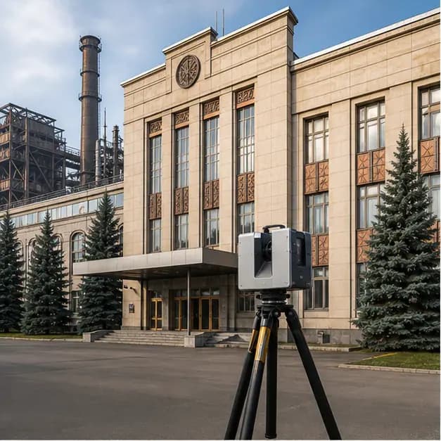
- View 1NLMK office building in Lipetsk. Visual 1.
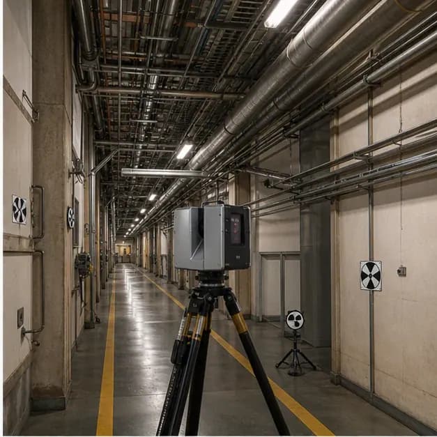
- View 2NLMK office building in Lipetsk. Visual 2.

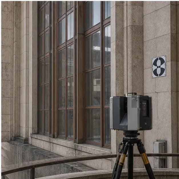
- View 3NLMK office building in Lipetsk. Visual 3.
Related services
Object types
Planning a similar project? Let’s discuss the site
We will define the scope, schedule, and deliverables.